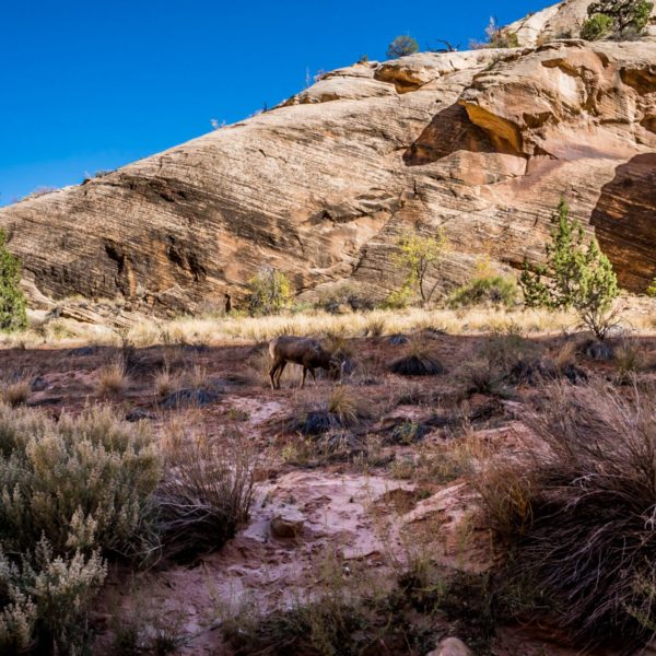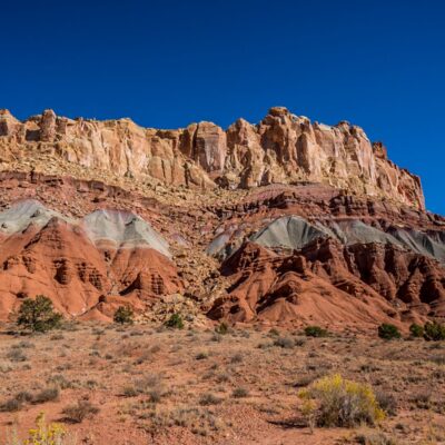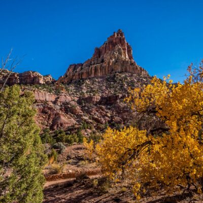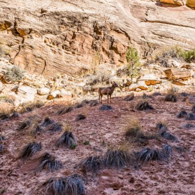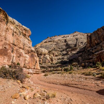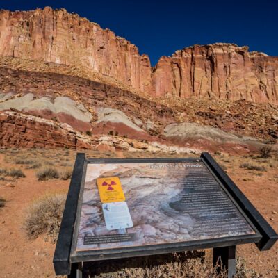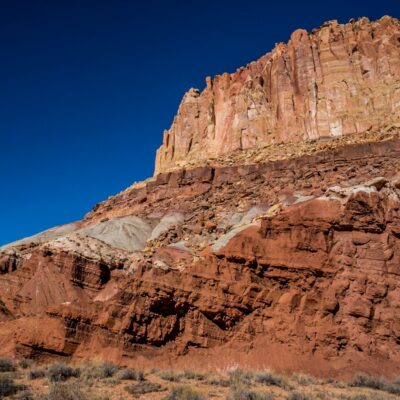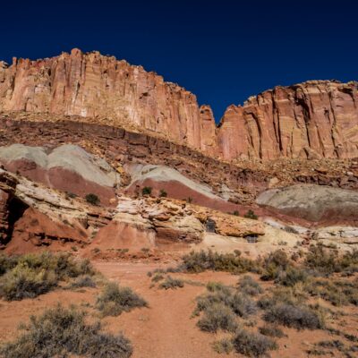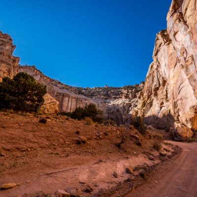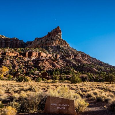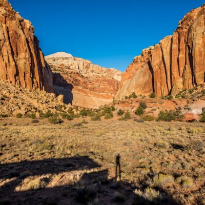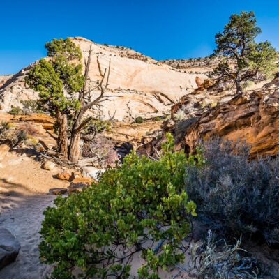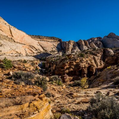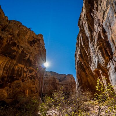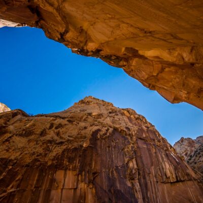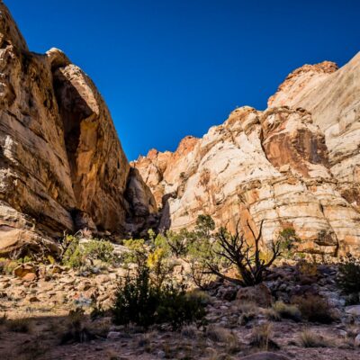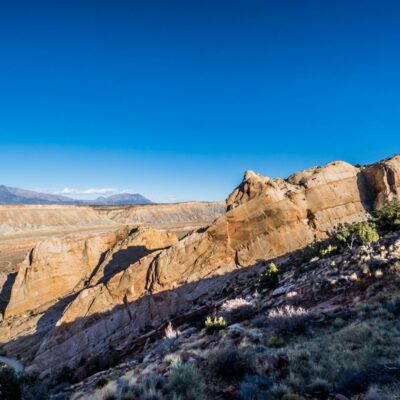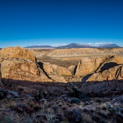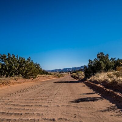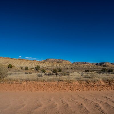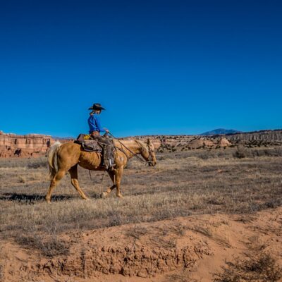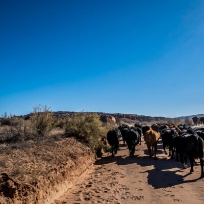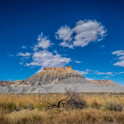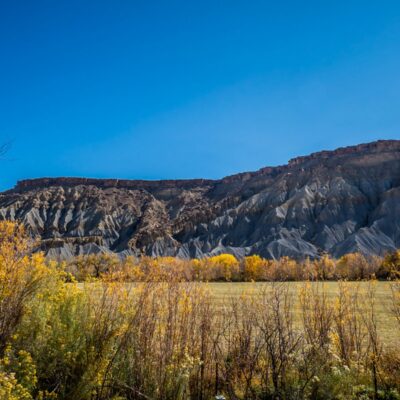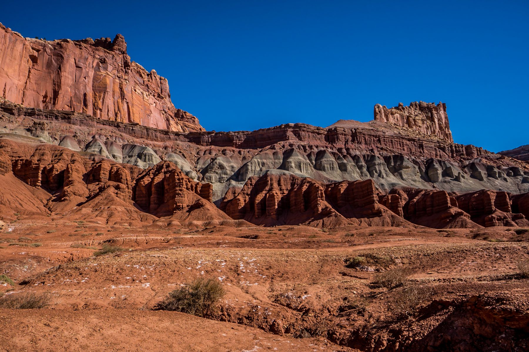
On October 26th & 27th, 2017, I explored Capitol Reef National Park in Utah. I drove to Capitol Reef from Moab, Utah after visiting Arches National Park and Canyonlands National Park. On my way there I visited the ghost town of Cisco, Utah.
Capitol Reef National Park, (as with nearly every National Park that I’ve visited so far), has two different ways to experience it. There’s the tourist side, and what I like to call the adventurer side. I enjoy experiencing the parks both ways, but I definitely prefer one over the other.
Every National Park has a scenic drive for tourists, with multiple stops along the way; which I consider to be the tourist side of the parks. Tourists can stop to see scenic views and can do “hikes” that are usually on a less than 1/2 mile long path. The tourist side of the parks is nearly always my least favorite for many reasons. Firstly, there are tourists! I visit National Parks to be alone, in the wilderness, with wildlife, in silence. I do not visit them to be among thousands of (really annoying) tourists. Secondly, driving on a paved road to scenic overviews isn’t exactly experiencing a National Park. Lastly, the tourist areas of our National Parks are typically a fraction of a percent of the size of the park; those tourists are missing out on 99.9% of the experience!

The other side of our National Parks is what I like to call the adventurer side. This side of the park is typically only accessible via dirt roads, hiking trails, or by bushwhacking (hiking nowhere near established trails, when allowed). This is the part of the parks that I live for.
My typical first move when arriving at any National Park is to stop at the visitor center, learn about the park through the displays, get a map of the park, and then talk to a park ranger about where I can go where there won’t be any tourists. The rangers are always excited to share their knowledge of the most remote parts of the parks, and I’m always grateful for their knowledge.
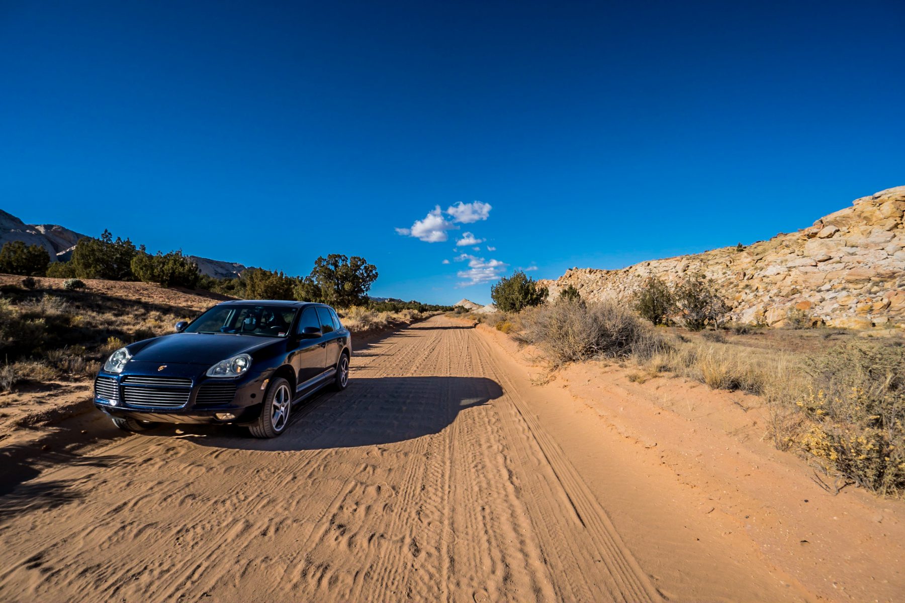
On my first day in each park, after stopping at the visitor center, I do the touristy thing and take the scenic drive. I have a rule about this part of the park: I must stop at every sign, see every scenic overlook, and hike every single trail. If I don’t hit every stop, I feel like I’ve missed something that I might never see again! Typically all of these stops on the scenic drives can easily be done in a day, and in the majority of the parks, you can probably do it in an afternoon. In Capitol Reef National Park, with the hikes, this took me an entire day.
There is a lot to learn about and a lot to see in Capitol Reef National Park; Mormon history, Native American history, mining history, and interesting geology facts. There are also epic off roading routes and amazing hikes. This park really has something for everyone.
After doing the scenic drive and hikes on my first day in each National Park, I try to complete all of the full-length hikes, and drive all of the off-road routes on the remaining days. In Capitol Reef National Park there are hundreds of miles of trails and rough unpaved roads that allow the more adventurous to explore the backcountry. I ended up spending 3 days exploring the park; 1 day on the scenic drive and hikes, and 2 days exploring the backcountry. I didn’t even come close to seeing everything I wanted to see. In 3 days, I saw about 5% of the park. I’d really like to go back and spend a LOT more time exploring the Waterpocket Fold and camping in the backcountry. Continue reading below to learn more about the Waterpocket Fold.
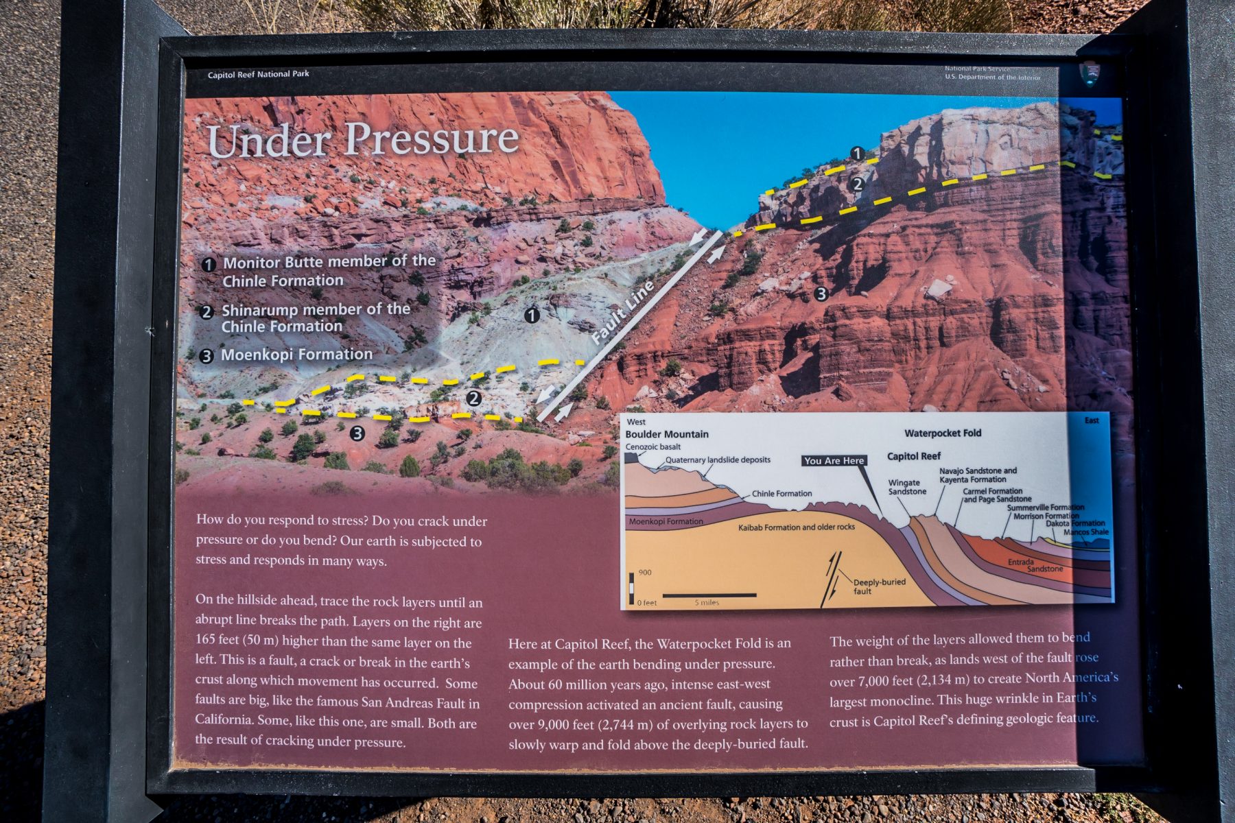
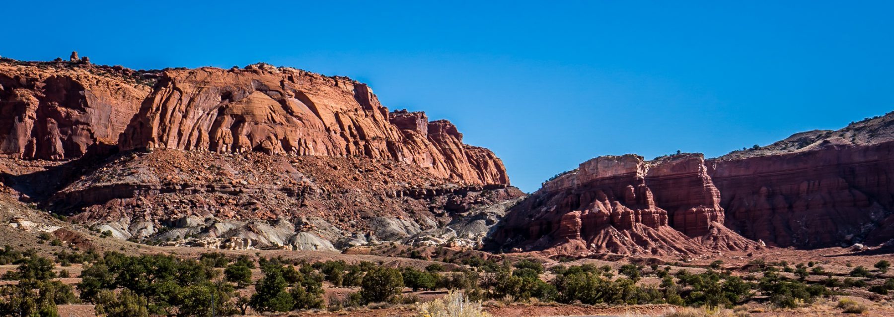
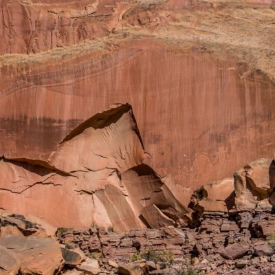
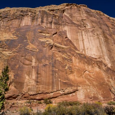
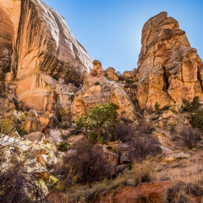
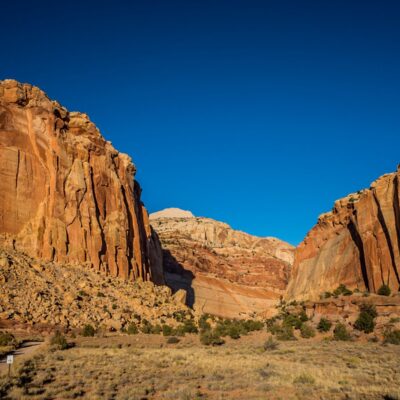
Capitol Reef National Park is big. Most tourists only see the 21 mile, 1.5 hour, scenic drive; but the park itself is at least 60 miles long. The park encompasses an unbelievable geological feature called the Waterpocket Fold, along with deep canyons, ridges, buttes, and monoliths. The majority of the nearly 100 mile long Waterpocket Fold is preserved within the park. Capitol Reef is the name of the especially rugged (and remarkable!) section of the Waterpocket Fold near the Fremont River. The park was named for a long line of huge cliffs of white Navajo Sandstone that have dome formations. These domes resemble the domes on capitol buildings which is how the park got the first half of its name. Early settlers referred to impassable terrain features as “reefs”, which is how the park got the second half of its name.
The Waterpocket Fold is a massive warp in the earth’s crust that is 65 million years old. It’s the largest monocline (a bend in rock strata that are otherwise uniformly horizontal) anywhere in all of North America. Within this fold, layers of earth folded over each other in a massive S-shape. This warp has eroded to expose beautiful layers of rock and fossils.The Waterpocket Fold forms such an impenetrable barrier that even today, it has barely been breached by any roads. It wasn’t until 1962 that the first paved road was constructed in the area. Today, State Route 24 connects Capitol Reef National Park with Canyonlands National Park and Bryce Canyon National Park, but few other paved roads exist anywhere else in this remote and rugged landscape.
You can see the Waterpocket Fold in the map below; look for the massive white feature running North West to South East. Zoom in on the northern section to see how impenetrable this landscape really is.
The Waterpocket Fold:
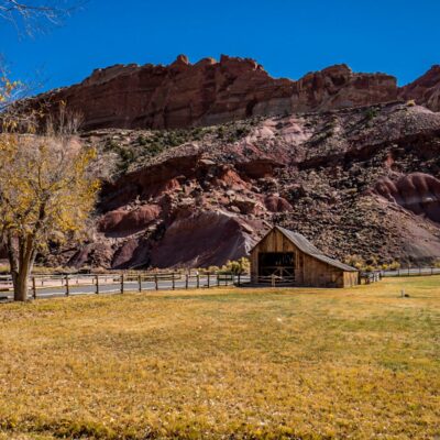
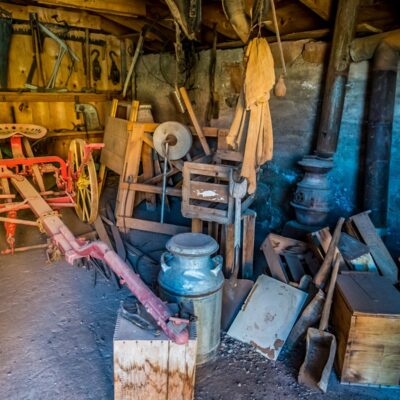
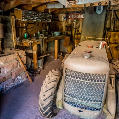
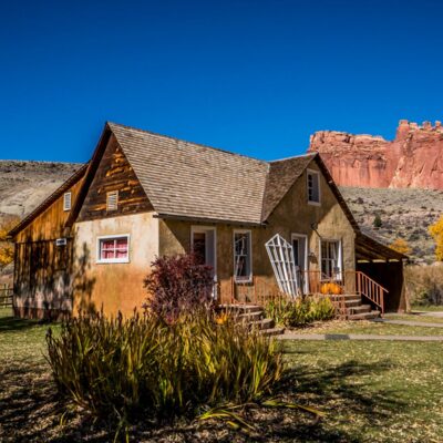
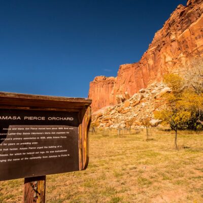
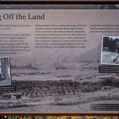
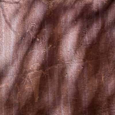
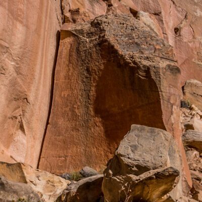
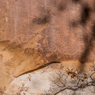
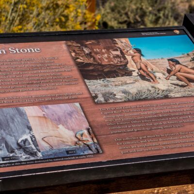
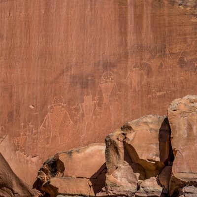
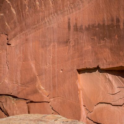
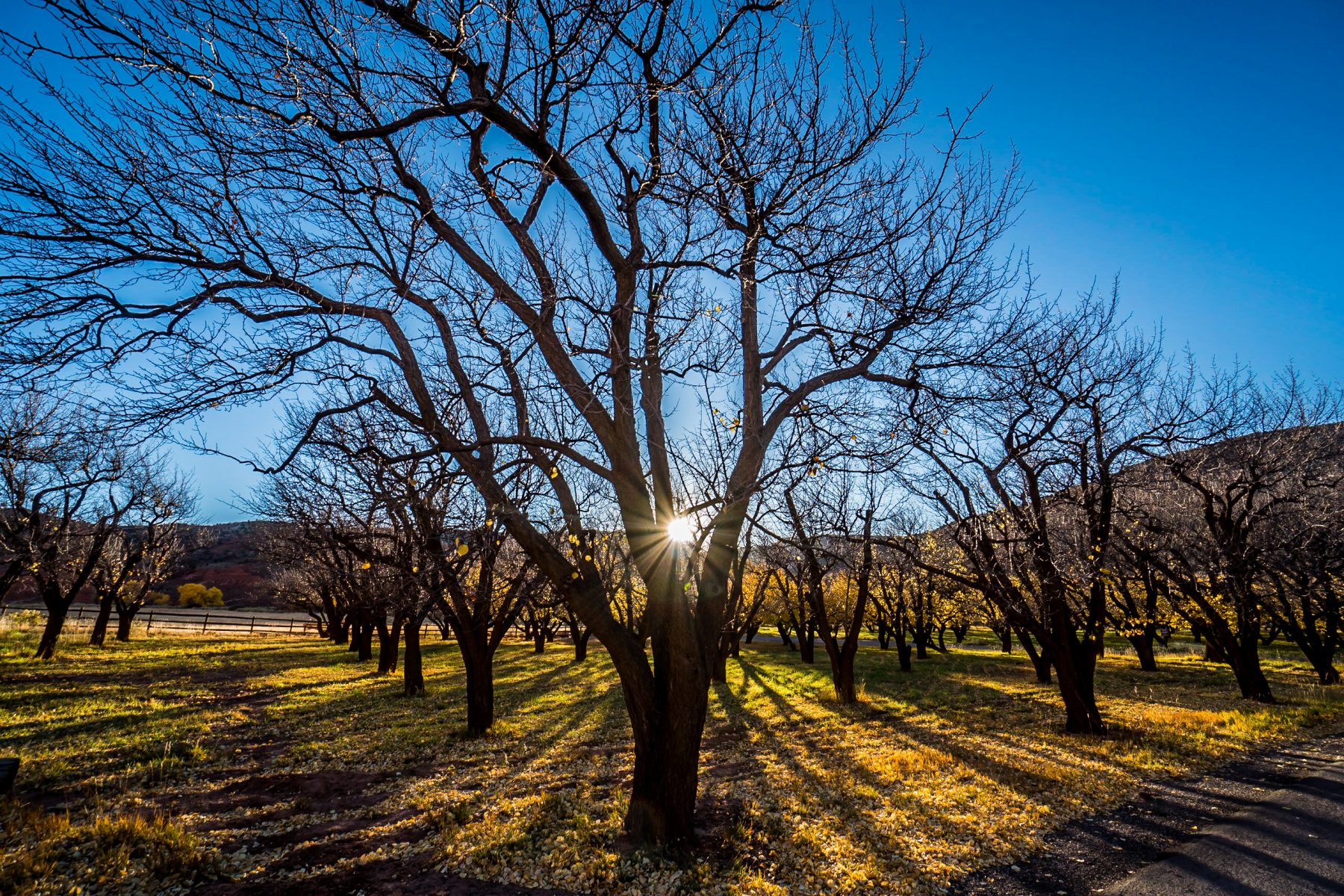
If you are a history buff, you will LOVE Capitol Reef National Park. This rugged and remote place has been home to humans for thousands of years. Archaic hunters and gatherers migrated through this area looking for food. The Fremont Culture began in this area around 500 CE, evolving from migrating food foragers, to farmers of corn, beans and squash. Petroglyphs and pictographs etched in the cliff walls still remain to this day. Explorers, Mormon pioneers and other settlers arrived in the 1800s, settling in what is now the Fruita Rural Historic District. They planted gorgeous orchards of apples, pears, and peaches. The history here is amazing, and you can see all of it by taking the scenic drive and by exploring the now preserved town of Fruita.
Fruita Rural Historic District Photo Slideshow:
In the late 1800’s, Latter-day Saints church officials in Salt Lake City wanted to establish missions in the most remote parts of the American west. In the 1870s, mormon settlers moved into this part of Utah, establishing the towns of Junction (later renamed Fruita), Aldridge, Caineville, Clifton, Elephant, Giles, and Hanksville. Men from the famous expeditions of Major John Wesley Powell had also begun to explore the area.
In 1880, Nels Johnson made his homestead in Fruita. Fruita settlers recognized the abundance of water and heat that reflected off the vertical canyon walls to the soil. Johnson planted the first orchards of almonds, apples, peaches, pears, plums, and walnuts.
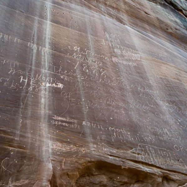
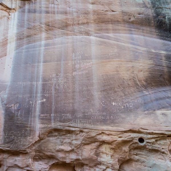
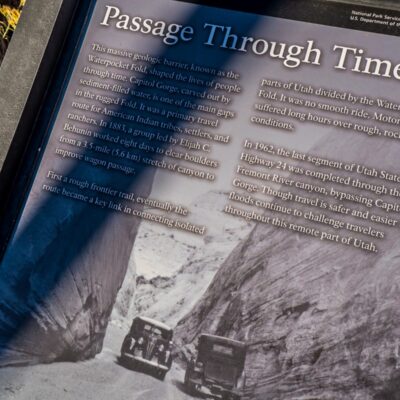
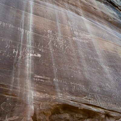
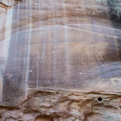
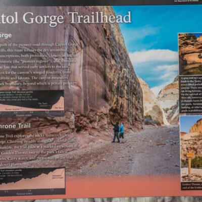
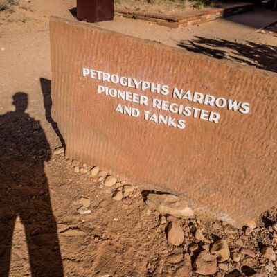
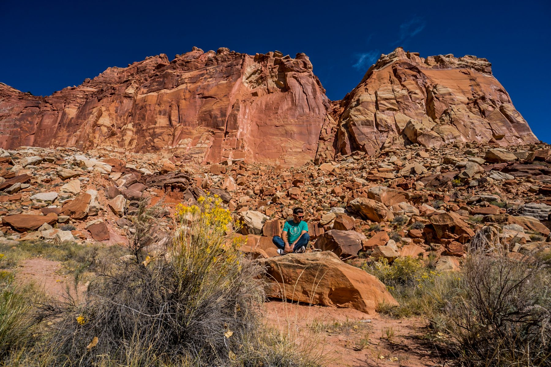
Elijah Cutler Behunin and a group of pioneers cleared a wagon trail through Capitol Gorge which allowed settlers, church officials, miners, outlaws, and others to pass more easily through the Waterpocket Fold. The “road” was closed in 1962 when Utah Highway 24 was completed. Today, you can hike on this historic wagon trail, and you can see the evidence of the original pioneer settlers on the canyon walls. The cliff face below is called “The Pioneer Register”. This wall of graffiti from the late 1800’s was scrawled by dozens of Mormon pioneers as they passed through the area. On the other side of the canyon from the Pioneer Register are signatures etched into the canyon wall by an early United States Geologic Survey crew.
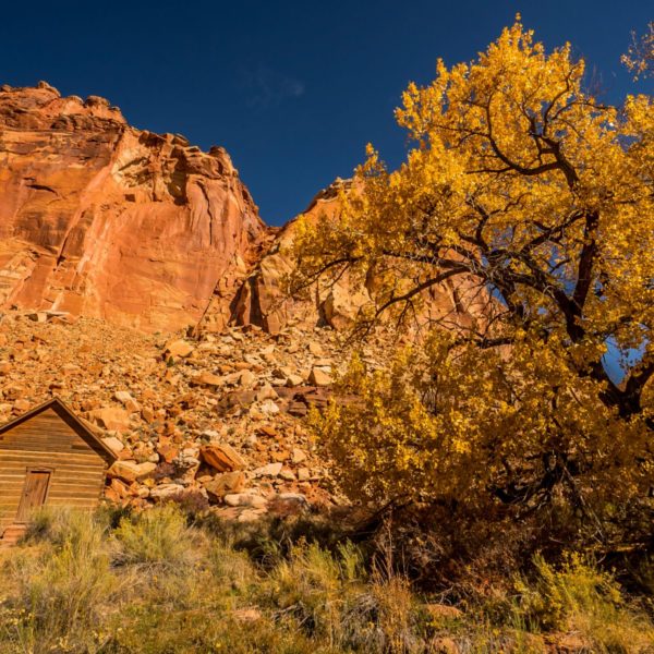
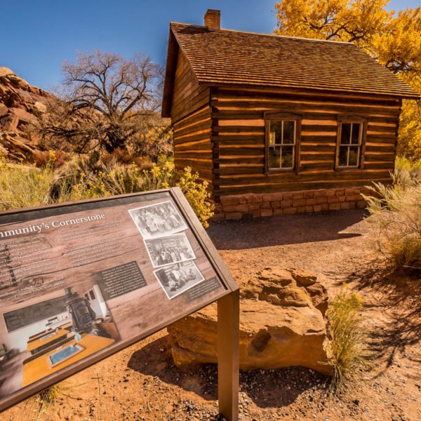
Elijah Cutler Behunin also donated the land for the one room Fruita Schoolhouse, which was completed in 1896. His 12-year-old daughter, Nettie, was the school’s first teacher. The Fruita school remained open until 1941.
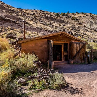
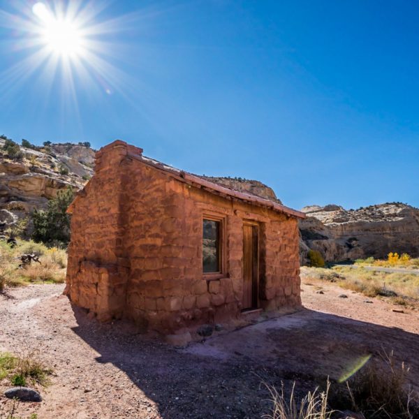
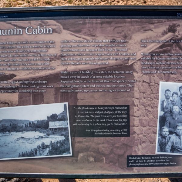
Elijah Cutler Behunin built his first cabin near Fruita in 1883, but the family only lived there for one year. Repeated flooding threatened the home and their crops so they relocated to Fruita. What really blew my mind was that Elijah and his wife and their 13 children all lived in this one room home! I can’t even picture living in this by myself!
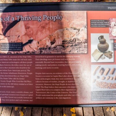
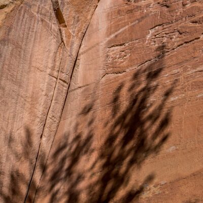
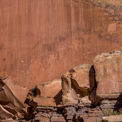
In addition to the amazing Mormon history, Capitol Reef National Park also has a lot of Native American history, if you look closely enough. The petroglyphs and pictographs that they etched into the stone 1,000 years ago are still as beautiful today as they were when they were originally created.
Fremont Culture Petroglyphs Photo Slideshow:
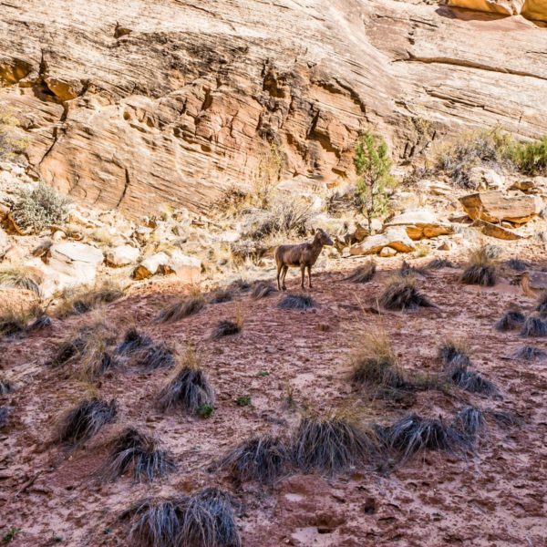
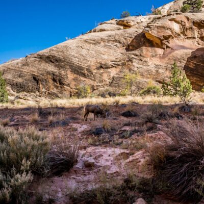
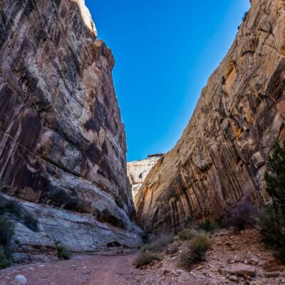
On my first day in the park I hiked the Grand Wash Trail. This trail is just under 4.5 miles round trip, and is a beautiful way to experience the canyons of Capitol Reef. The photos from this hike are below. On my return trip, a bighorn sheep came out of nowhere and followed me for nearly 1/2 mile. She had a severely broken leg and could most definitely not climb the cliffs like an uninjured sheep could; so Im not sure how long she could survive. There was nobody else in the canyon during my hike, so I spent an amazing 30 minutes in silence with her, and went on my way.
Grand Wash Trail Photo Slideshow:
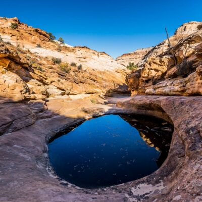
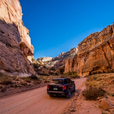
My second hike was the Capitol Gorge Trail. This trail requires that you drive 2.5 miles on a dirt road through the canyon (on the original road that was built by the Mormons in the 1800s). This trail is short, but in the course of just one mile, you will see Native American petroglyphs, the Pioneer Register (I wrote about earlier), a natural stone arch and “The Tanks” which are natural formations in the stone that hold water.
Capitol Gorge Trail Photo Slideshow:
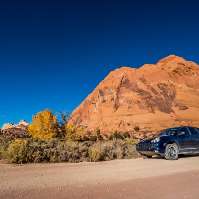
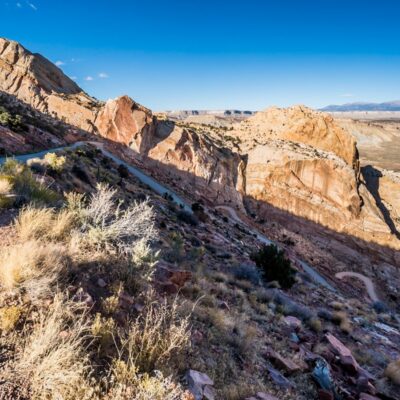
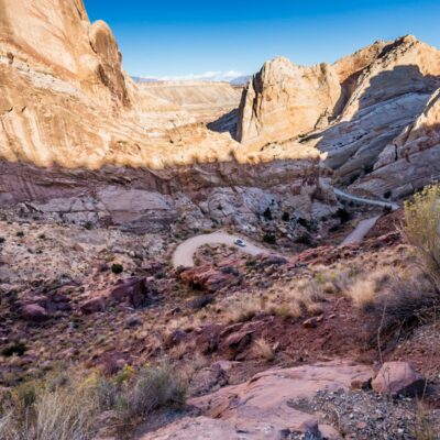
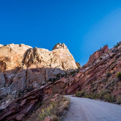
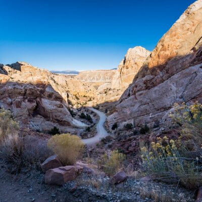
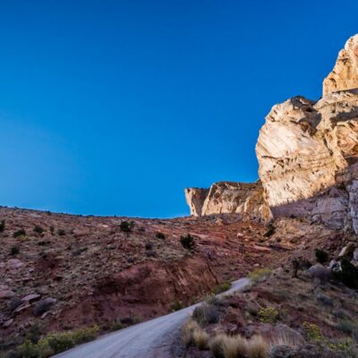
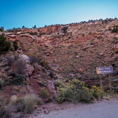
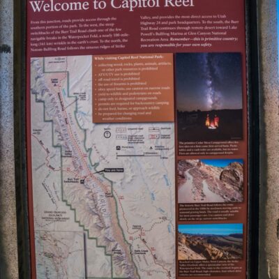
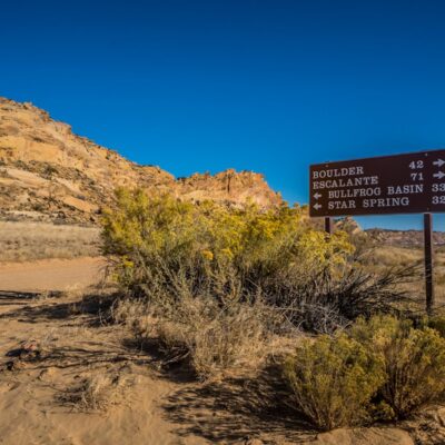
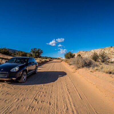
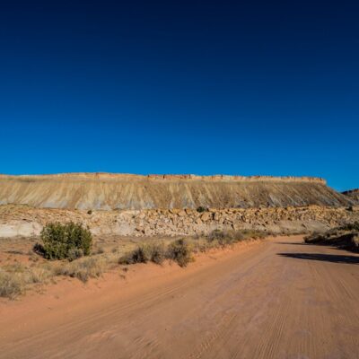
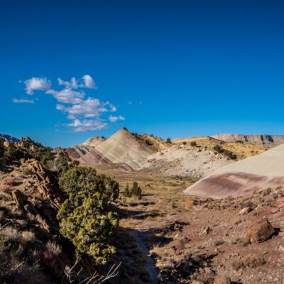
On my second and third days in Capitol Reef National Park, I drove off-road for over 175 miles. I wanted to see the remote backcountry parts of the park that the tourists don’t see, and it was most certainly worth the effort. I spent most of my time concentrating on the rugged trails while driving, so I didn’t get very many photos; but I can assure you that it was an epic adventure; and that I will be back for more. On my last day in the park I decided to drive the Notom-Bullfrog Road which runs 2/3 the length of the Waterpocket Fold, and then crosses it through some unreal switchbacks called the Burr Trail Switchbacks. I started the drive in Hanksville, Utah, and finished it at Bryce Canyon National Park. The drive was intense, and long; it took me nearly 8 hours. Photos of this route, and a map, are below.


