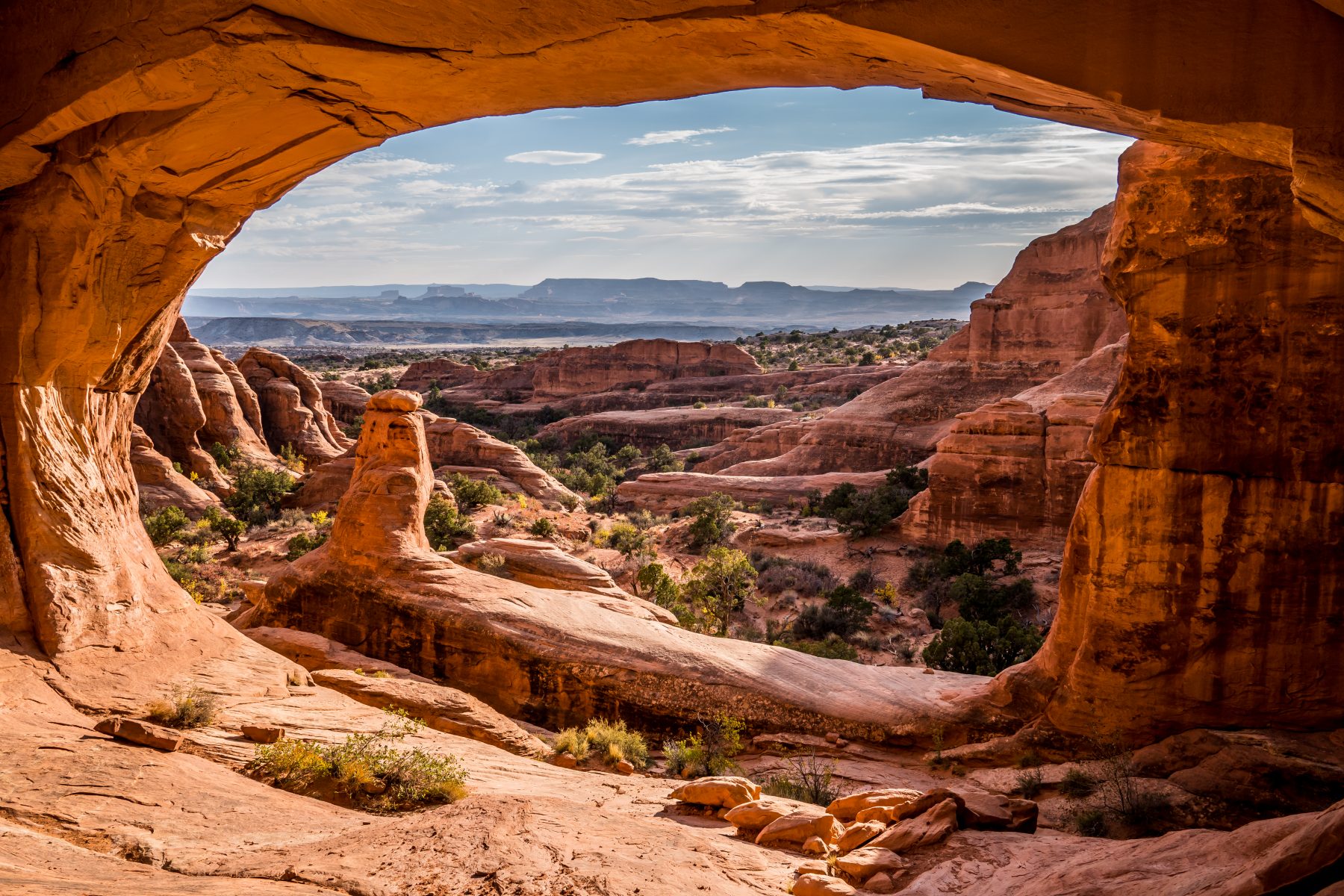
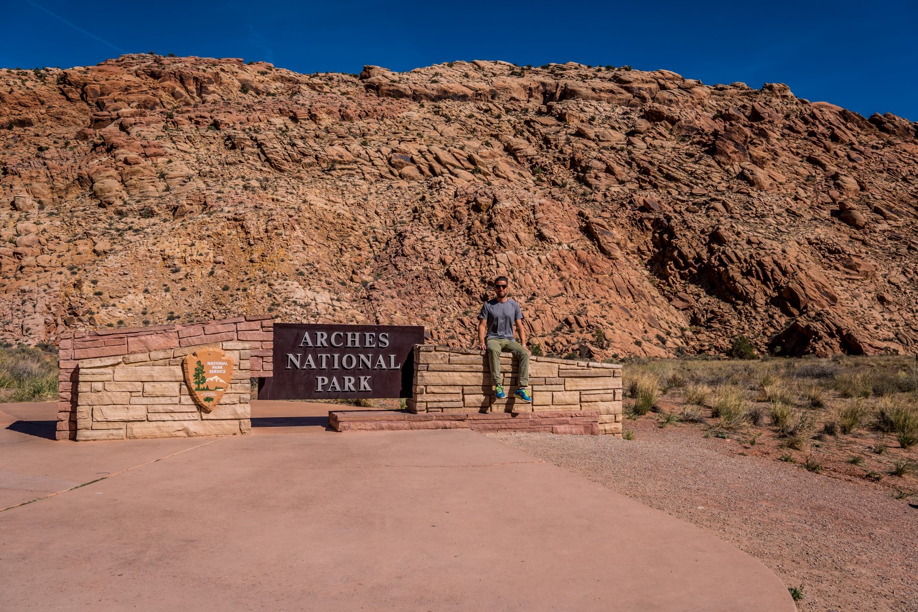
On October 16th, 17th, 18th, and 19th I explored Arches National Park in Colorado.
Arches National Park has the highest concentration of natural stone arches on the entire planet. There are more than 2,000 known arches in the park!
How did this happen? First, you need the right kinds of rock.
Sandstone is made of individual grains of sand that are cemented together by minerals. The Entrada Sandstone of Arches National Park was once a massive desert, full of constantly-moving sand dunes. The grains of sand in these dunes were nearly perfect spheres so, when packed tightly together, they formed a rock that is very porous.
In contrast, the Carmel sandstone layer of Arches National Park (just beneath the Entrada) contains a mixture of sand and clay. Clay particles are much smaller than sand grains; a lot of them can pack together and fill in gaps between the sand grains, making the rock denser and less porous than a pure sandstone.
Next, crack the sandstone into parallel lines.
Deep beneath the surface lies a thick layer of salts that were deposited when most of the continent was under an ocean. Compressed by the tons of rock above it, the salt flowed and bulged upward, creating domes. The layers of rock covering the salt domes were forced to crack (like the surface of bread), into relatively parallel lines.
Next, add rain.
On average, Arches National Park receives 10 inches of rain annually. Rainwater soaks into the porous Entrada sandstone and then dissolves the calcite that bonds the sand together. Rainwater pools above the dense layer of stone called the Carmel Layer where it erodes a cavity. In the winter, water trapped between the two layers expands when it freezes and the frozen water pushes the rock apart.
Lastly, pick the right time to be on the planet.
The rock layers visible in Arches National Park today were once covered by over a mile of rock. What we see today wouldn’t exist if this mile of rock hadn’t eroded. Anyone who was in this region a million years ago would have seen endless plains dotted with small plants. Visitors 100,000 years in the future won’t see any arches; as it’s likely that both the Entrada layer and the Carmel layers will have eroded way!
I arrived rather late on the 16th and learned that the park roads were being paved, so the park was closed Sundays through Thursdays from 7pm to 7am. That only gave me 3 hours in the park on the first day, and it eliminated my chances of doing some fun night photography inside the park.
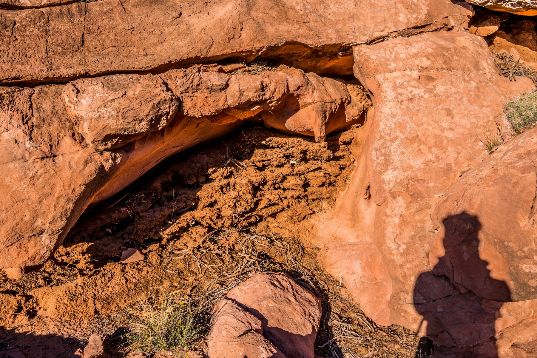
I stopped by the visitor center first, as I always do, but wasn’t very impressed with the displays…however, I did learn about pack rat middens, which was something that I’d never known about before! I had found a midden the day prior while I was out hiking in Canyonlands National Park, but didn’t know what it was. I’d found an odd earthen structure underneath a large rock, about as big as I am. It had random animal bones embedded in it. I speculated that it must have been made by a rodent based on the droppings all around it, but I was not aware that it was a pack rat, nor did I know that the nest is called a midden. Researchers have carbon dated some of these nests and have found that they are up to 40,000 years old! Out of all of the displays at the visitor center, the only one that had anything new or interesting on it was the pack rat display…but for me, that made up for the lackluster visitor center experience!
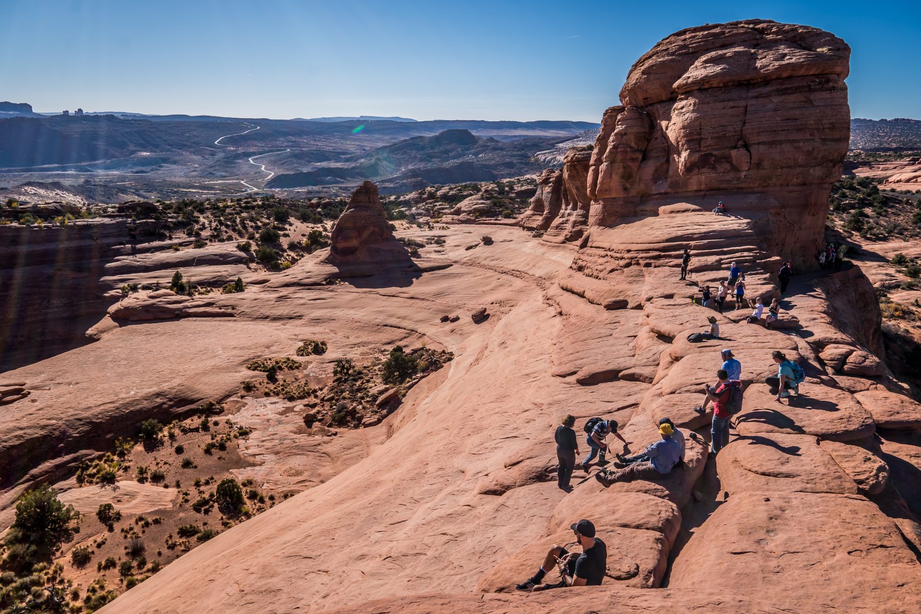
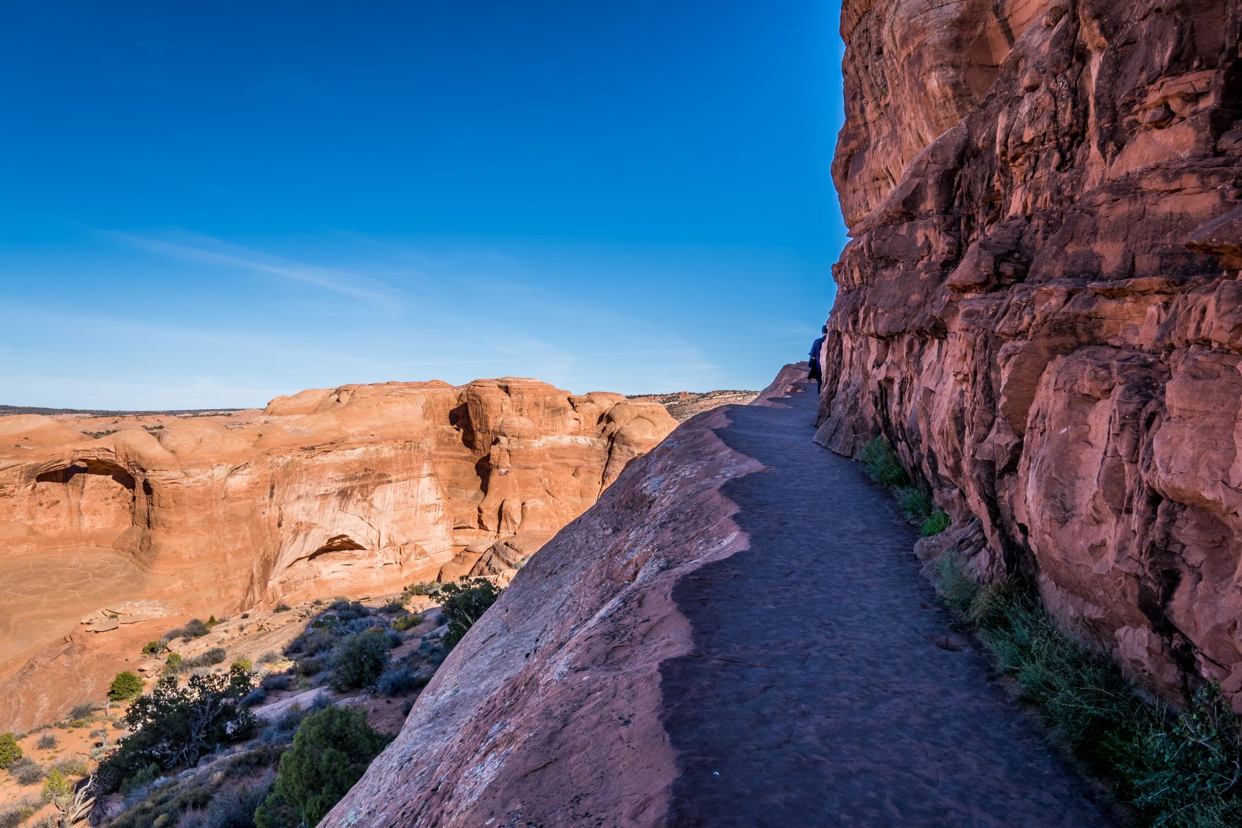
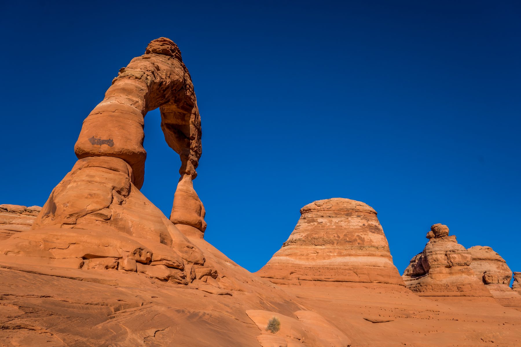
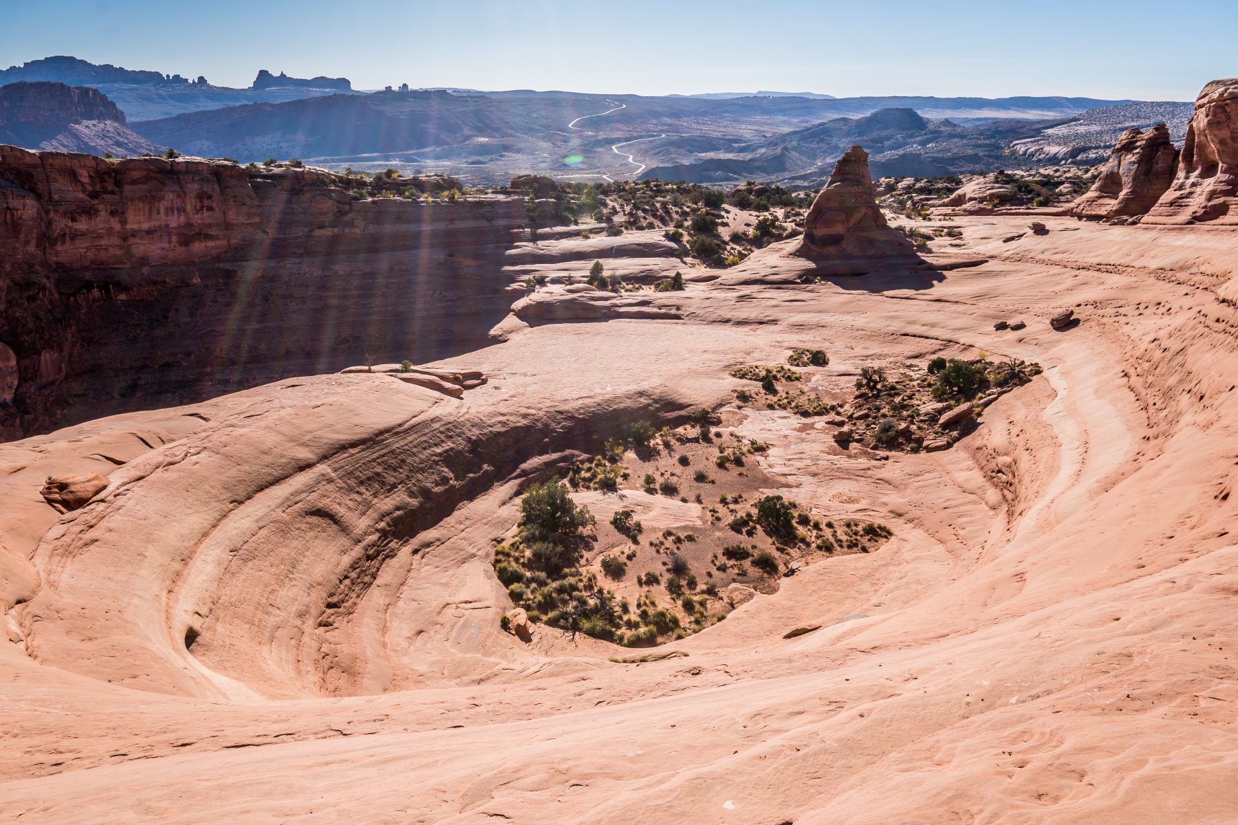
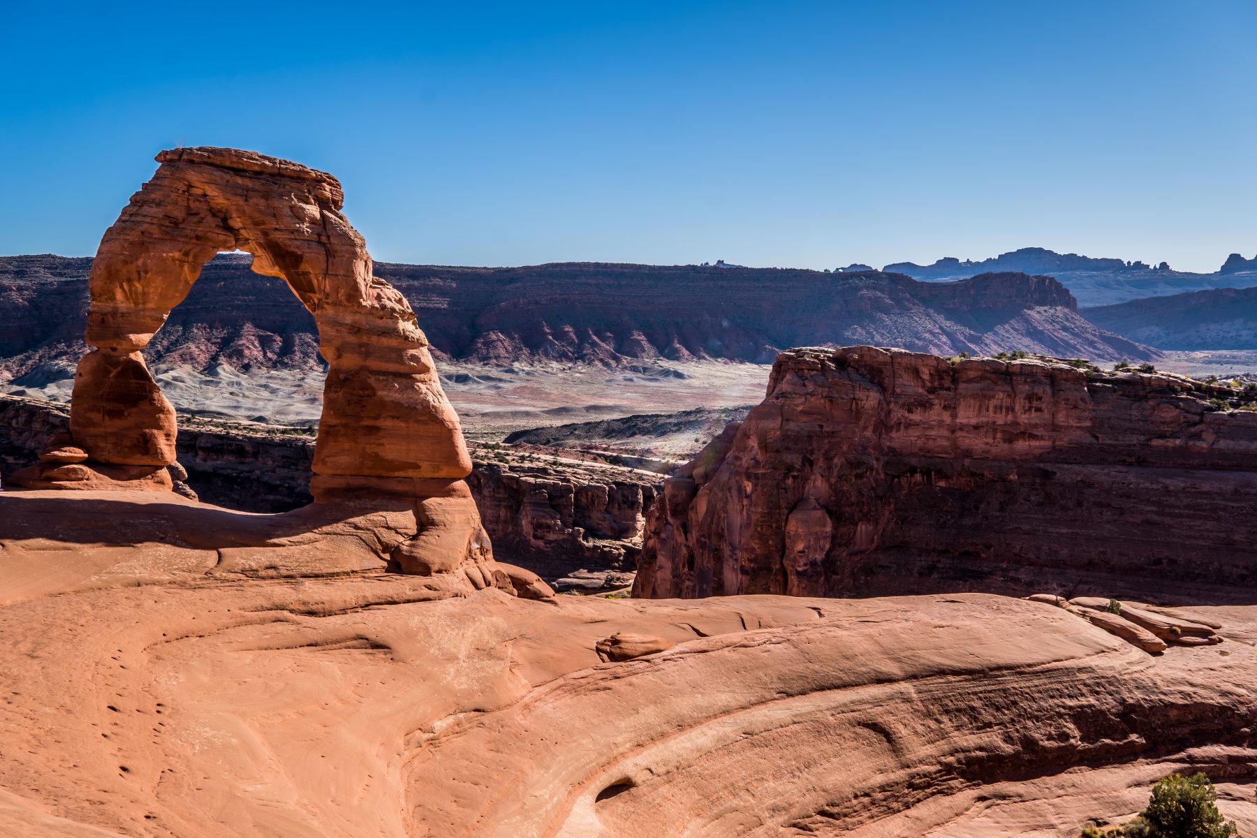
I visited Balanced Rock, Salt Valley, Sand Dune Arch, Wolfe Ranch, Delicate Arch, & Ute Rock Art in the remaining time I had on the first day. Details below:
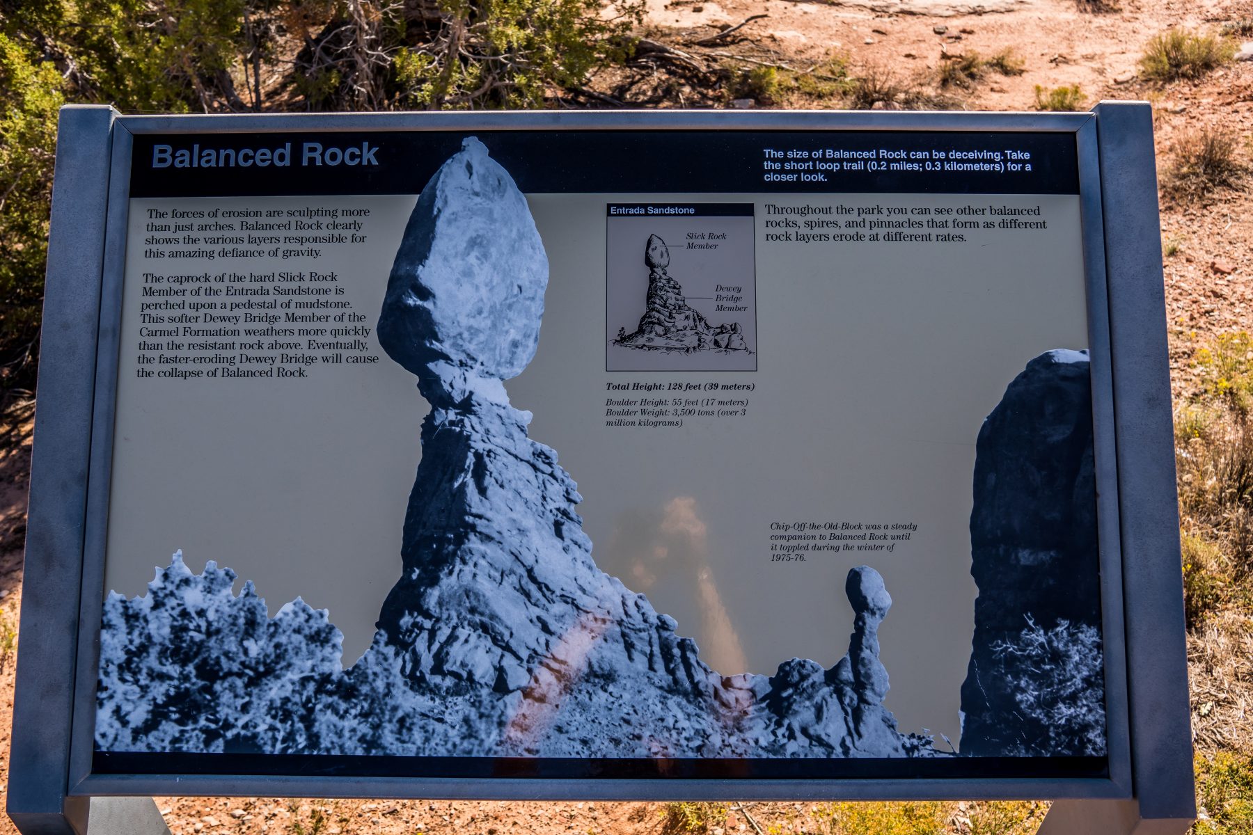
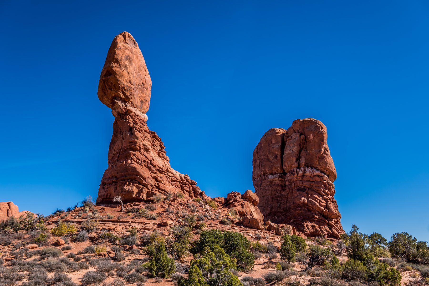
Balanced Rock:
This place was once covered by extensive sand dunes. Some 200 million yrs ago winds from north-west carried tons of fine grained sand into this area creating an immense desert. Can you imagine 55 ft tall rock balancing itself? At balanced rock, the cap rock of the hard slick rock member is perched upon a base of the Dewey bridge member, a mudstone. This softer pedestal weathers more quickly than the resistant slick rock above. Eventually the faster eroding Dewey Bridge will cause the collapse of balanced rock.
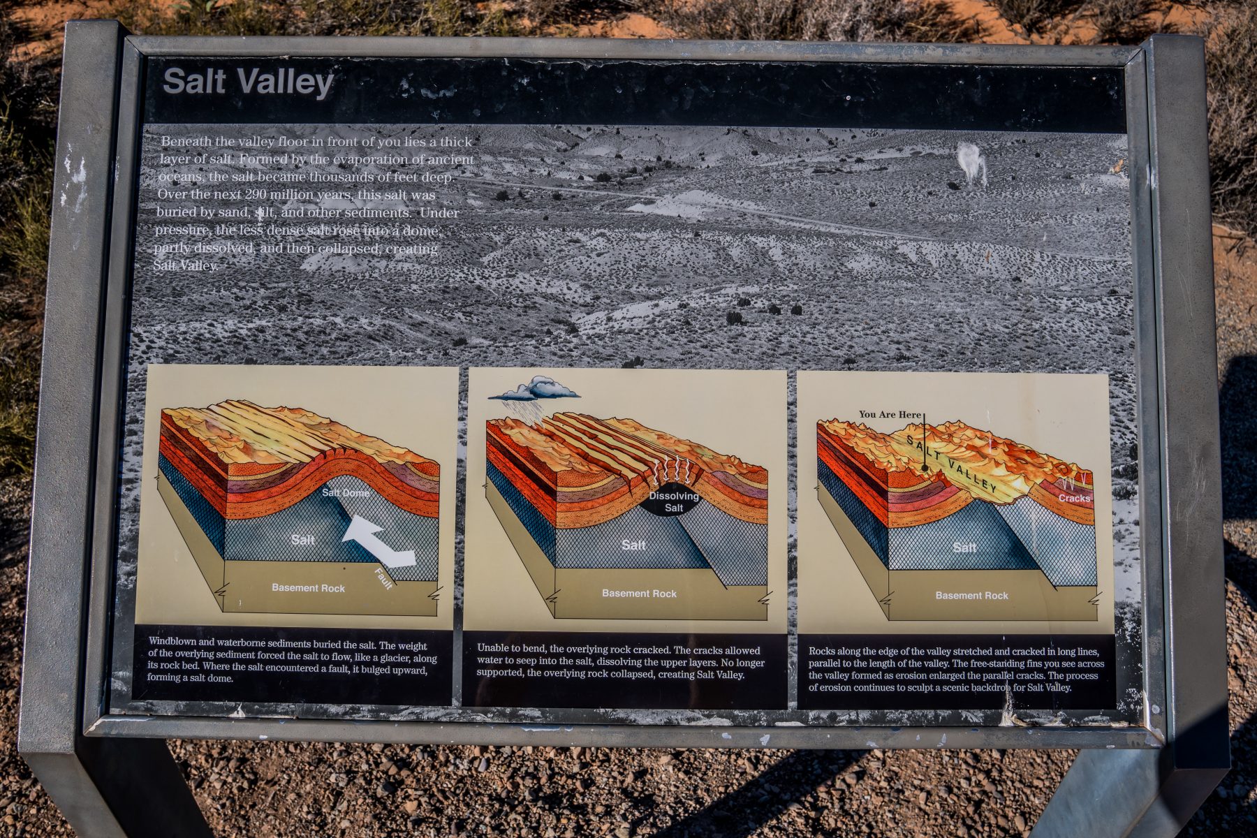
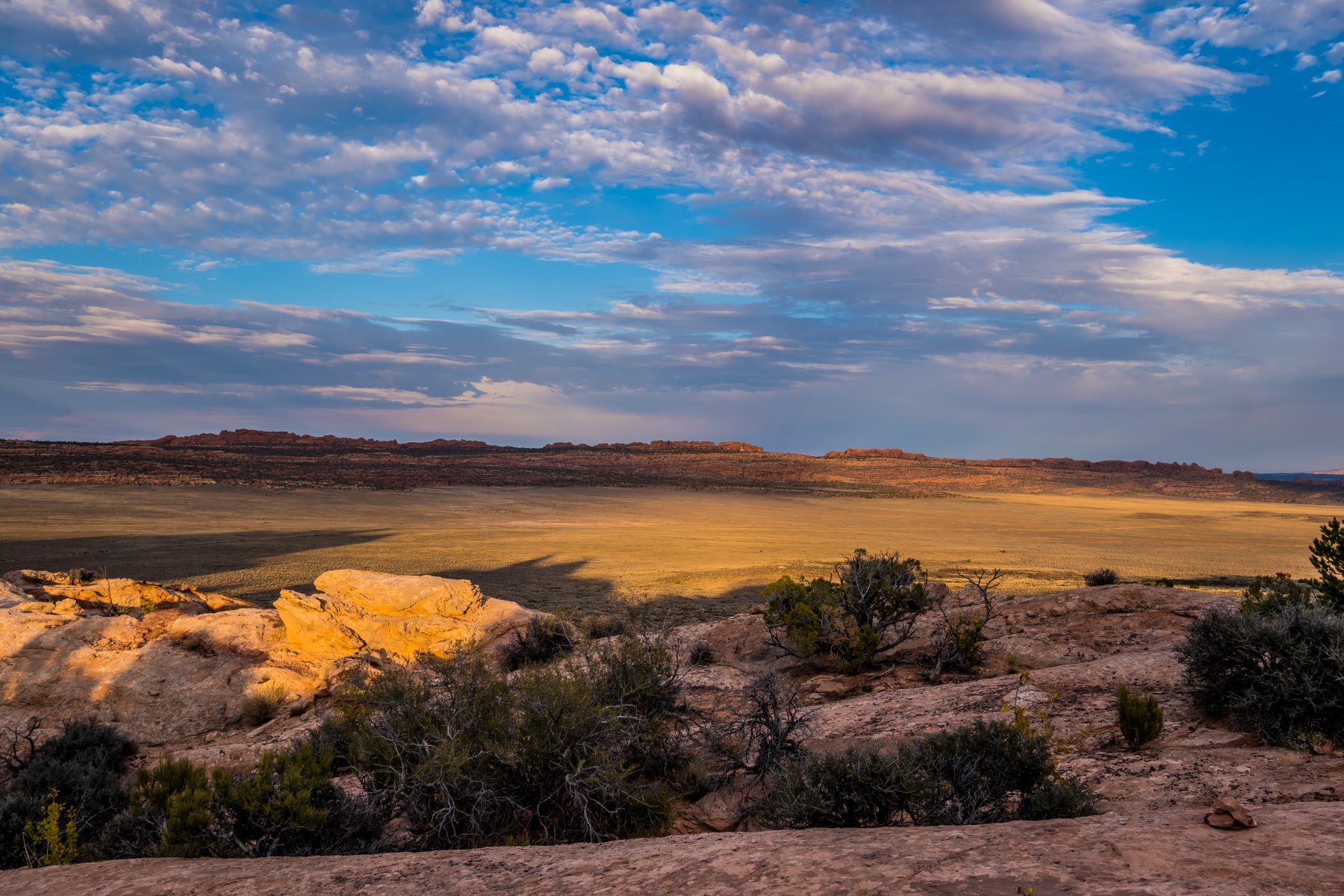
Salt Valley:
Beneath the valley floor lies a thick layer of salt. Formed by the evaporation of ancient oceans, the salt became thousands of feet deep. Over the next 290 million years, this salt was buried by sand, silt and other sediments. Under pressure, the less dense salt rose into a dome, partly dissolved, and then collapsed, creating Salt Valley. Windblown and waterborne sediments buried the salt. The weight of the overlying sediment forced the salt to flow, like a glacier, along its rock bed. Where the salt encountered a fault, it bulged upward, forming a salt dome. Unable to bend, the overlying rock cracked. The cracks allowed water to seep into the salt, dissolving the upper layers. No longer supported, the overlying rock collapsed, creating Salt Valley. Rocks along the edge of the valley stretched and cracked in long lines, parallel to the length of the valley. The free-standing fins you see across the valley formed as erosion enlarged the parallel cracks. The process of erosion continues to sculpt a scenic backdrop for Salt Valley.
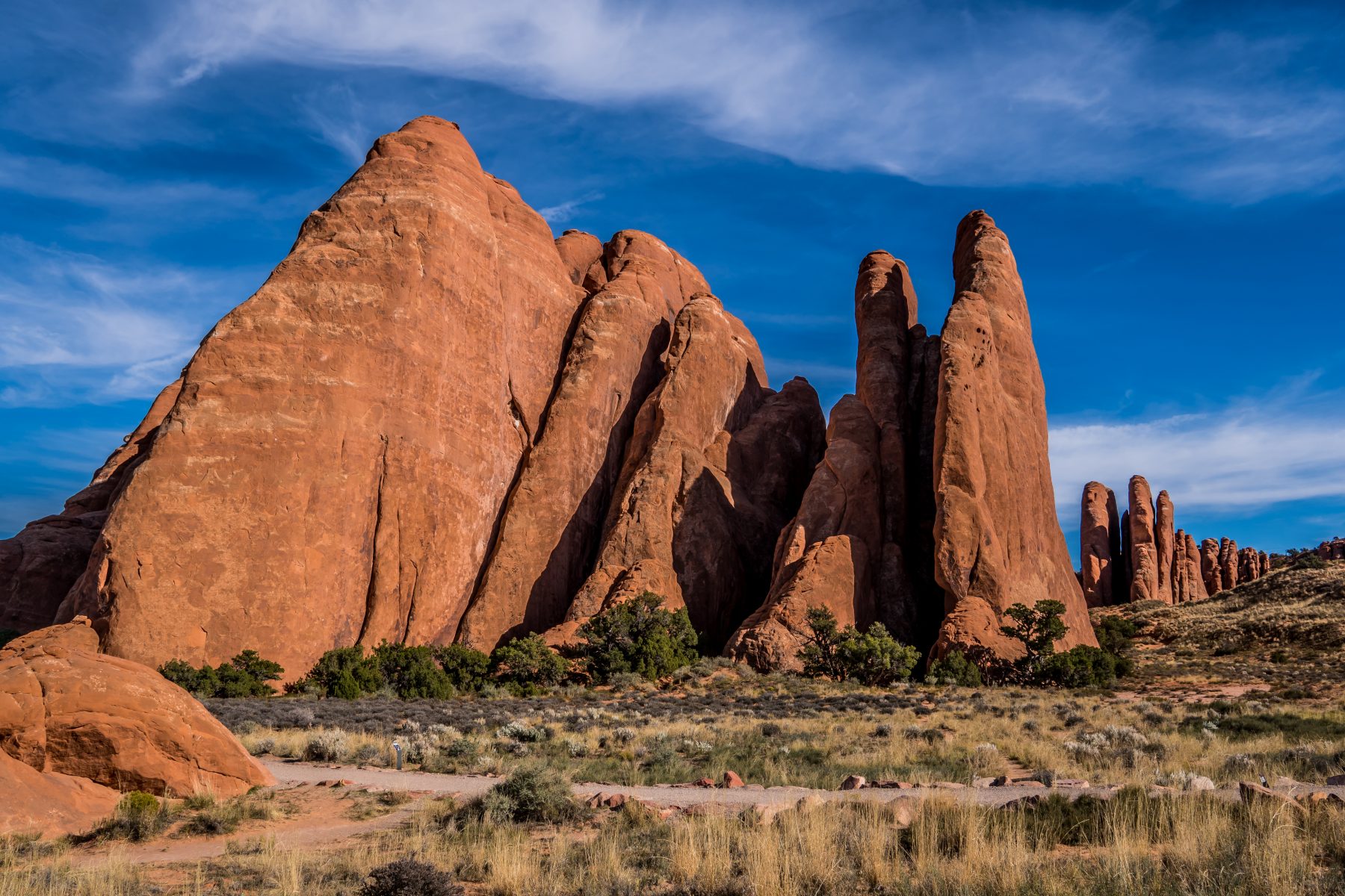
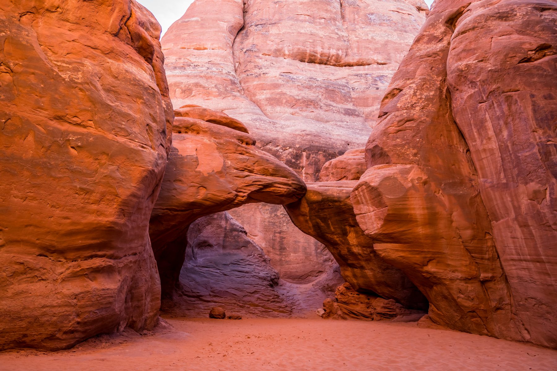
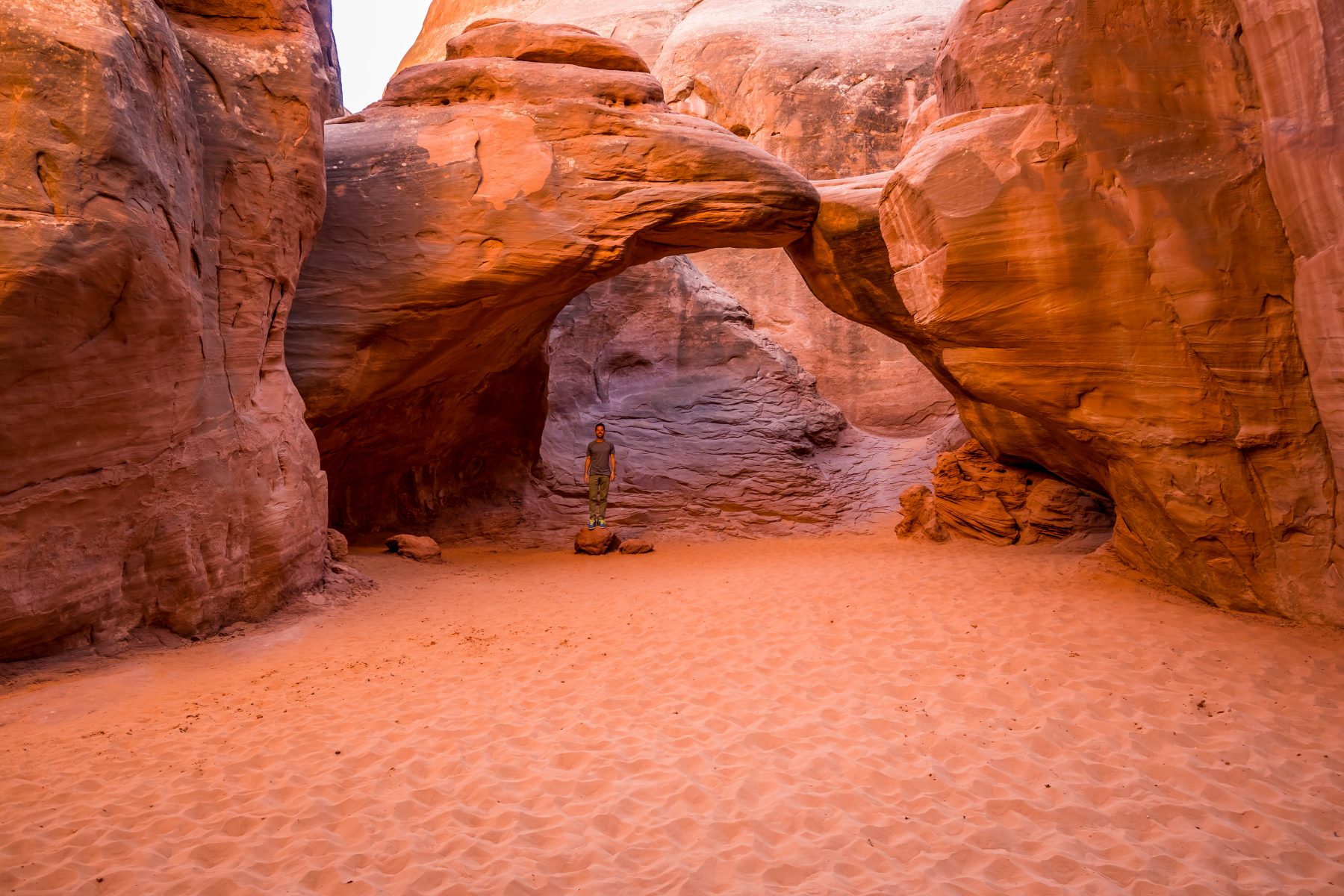
Sand Dune Arch:
Sand Dune Arch Trail leads through deep sand to a secluded arch among unbelievable sandstone fins. Sand Dune Arch has a ton of sand around it, the accumulation of wind-driven sand at its base and between the sandstone fins. Sand Dune Arch sits in the shade for most of the day, flanked by two large sandstone fins, and the sand is soft and cool to the touch. Take your shoes off and enjoy it!
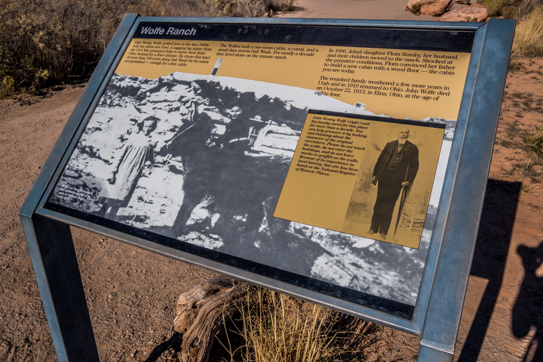
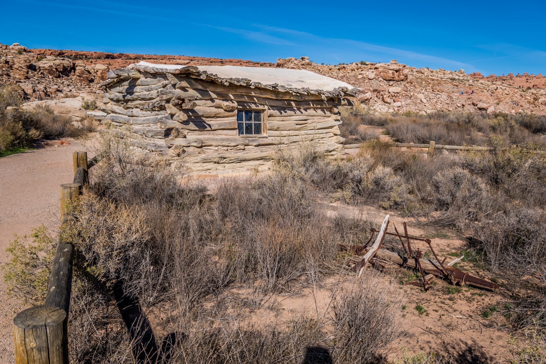
Wolfe Ranch:
John Wesley Wolfe settled here in the late 1800s with his oldest son Fred. A nagging leg injury from the Civil War prompted John to move west from Ohio looking for a drier climate. He chose this tract of more than 100 acres along Salt Wash for its water and grassland — enough for a few cattle. The Wolfe’s built a one-room cabin, a corral and a small dam across Salt Wash. For more than a decade they lived alone on the remote ranch. In 1906, John’s daughter Flora Stanley, her husband, and their children moved to the ranch. Shocked at the primitive conditions, Flora convinced her father to build a new cabin with a wood floor — the cabin you see today. The reunited family weathered a few more years in Utah and in 1910 returned to Ohio. John Wolfe died on October 22, 1913, in Etna, Ohio at the age of eighty-four.
Ute Rock Art:
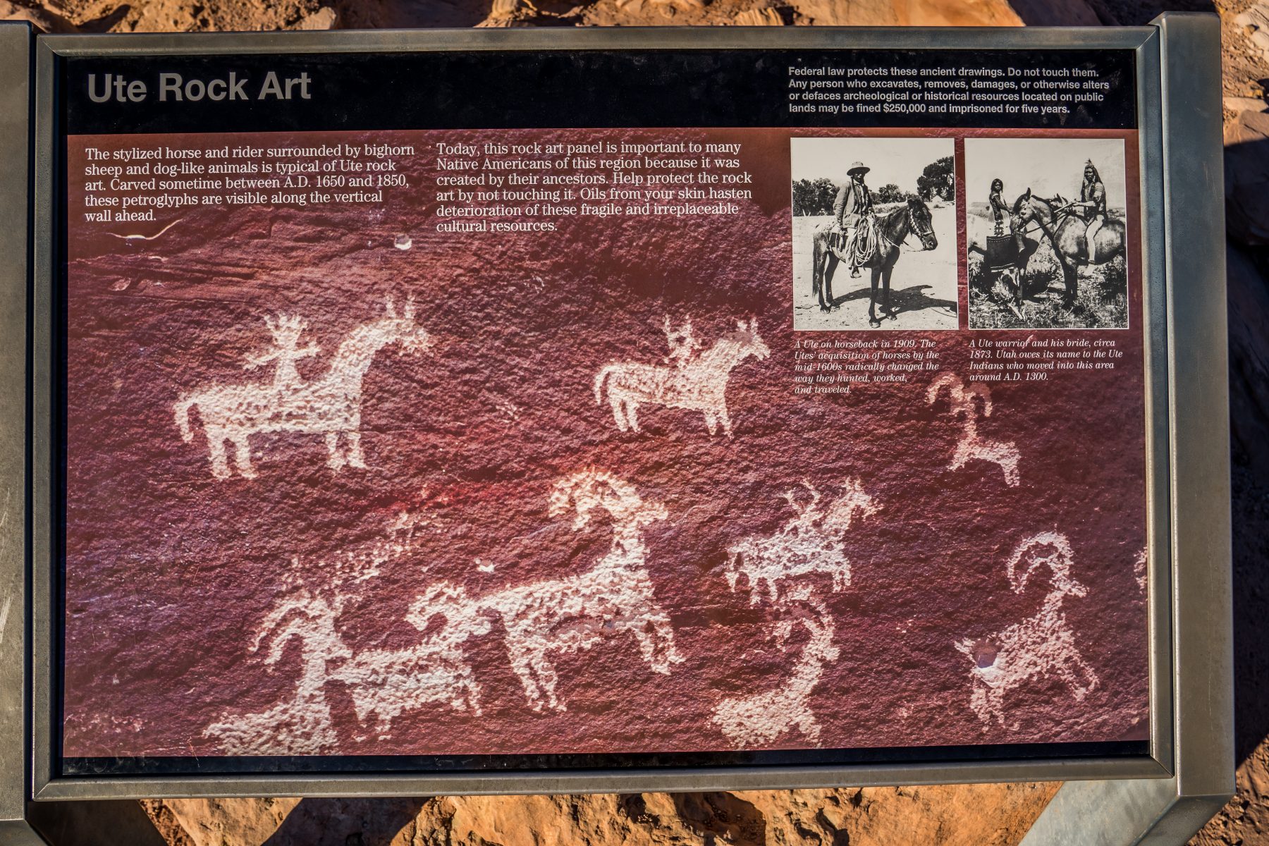
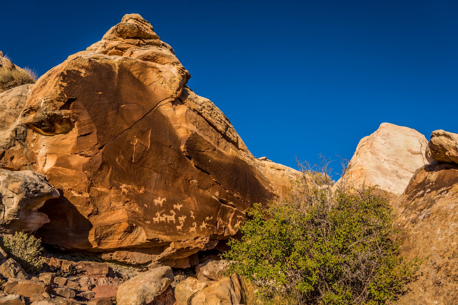
The stylized horse and rider surrounded by bighorn sheep and dog-like animals is typical of Ute rock art. Carved sometime between A.D. 1650 and 1850, these petroglyphs are visible along the vertical wall ahead. Today, this rock art panel is important to many Native Americans of this region because it was created by their ancestors.
On my second day in Arches National Park I had decided to scout for remote locations on Bureau of Land Management land where my friend Heather and I could camp. I camp in a tent and she camps in her van, so wherever we go, she has to be able to drive her van to the campsite. I’ve been spending $150 a night on hotels on this trip, and hadn’t camped more than 2 days in the last month because the temperatures were too chilly in Colorado; so I camped almost the entire time that I was in Moab. I found two dirt roads inside the National Park that both led out into very remote BLM land. One of the BLM land areas had no other access point, so it would be guaranteed to be private, and wild; exactly what I always strive for when I’m scouting campsites. I stopped by the visitor center again to ask a park ranger what he thought about camping on that land, considering that the park road is technically closed every night. He told me that he hadn’t had anyone ask him about camping out there on that land in a year; and that it would definitely be private; but that he would have to confirm if it would be legal for me to enter the National Park while it was open, and then stay on the BLM land overnight without coming back into the park. After talking to 2 other rangers, (and I believe to the park superintendent), they gave me the enthusiastic go-ahead to camp out there…if my SUV could make it. The road is called Cache Valley Road, and it does’t seem to exist on any online maps. I only found it because I was at Delicate Arch and noticed the dirt road leading away from the parking lot.
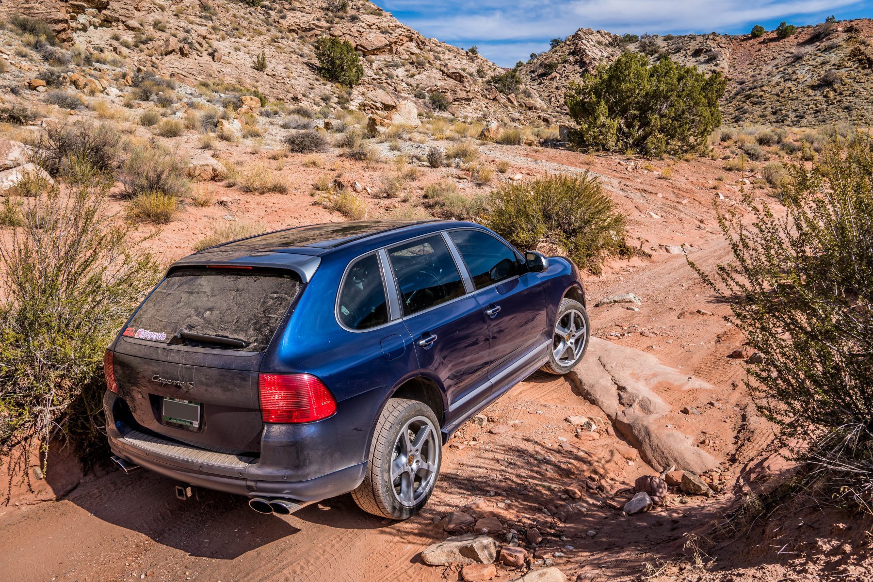
I made my way out into the BLM land via Cache Valley Road, and about 30 minutes out, got to a point where the road was no longer passable. The road conditions were really bad; you wouldn’t be able to get past where I went without a very high clearance vehicle. Mine has about 9″, and I wasn’t even close to making it any further.
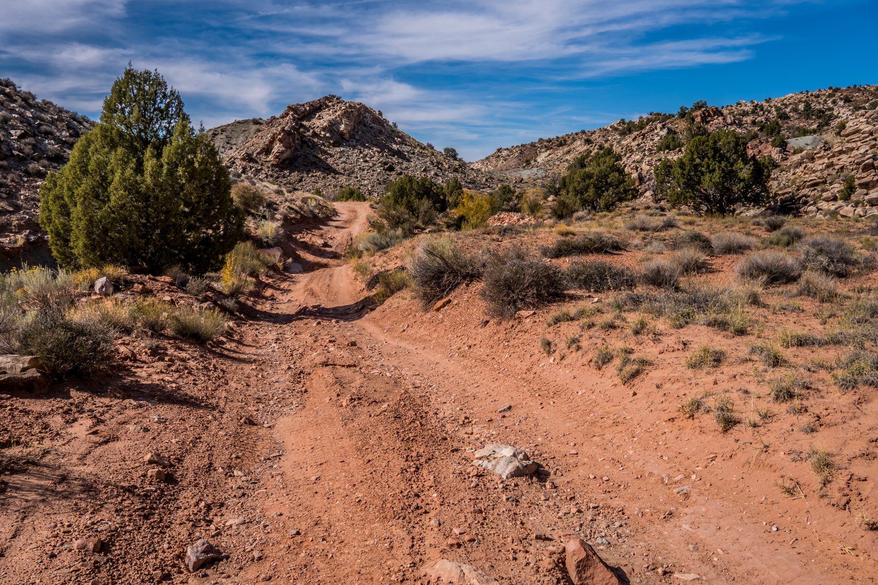
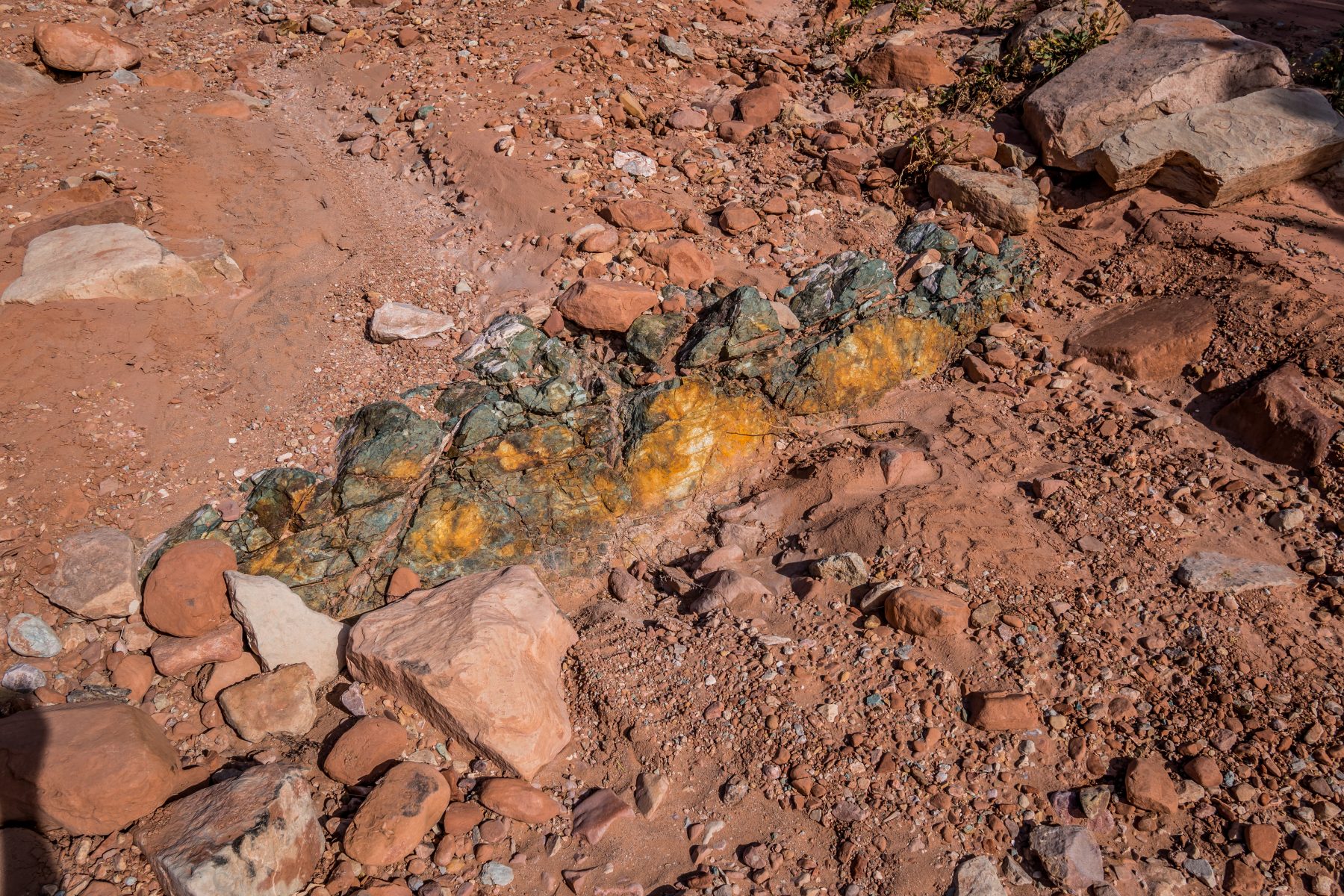
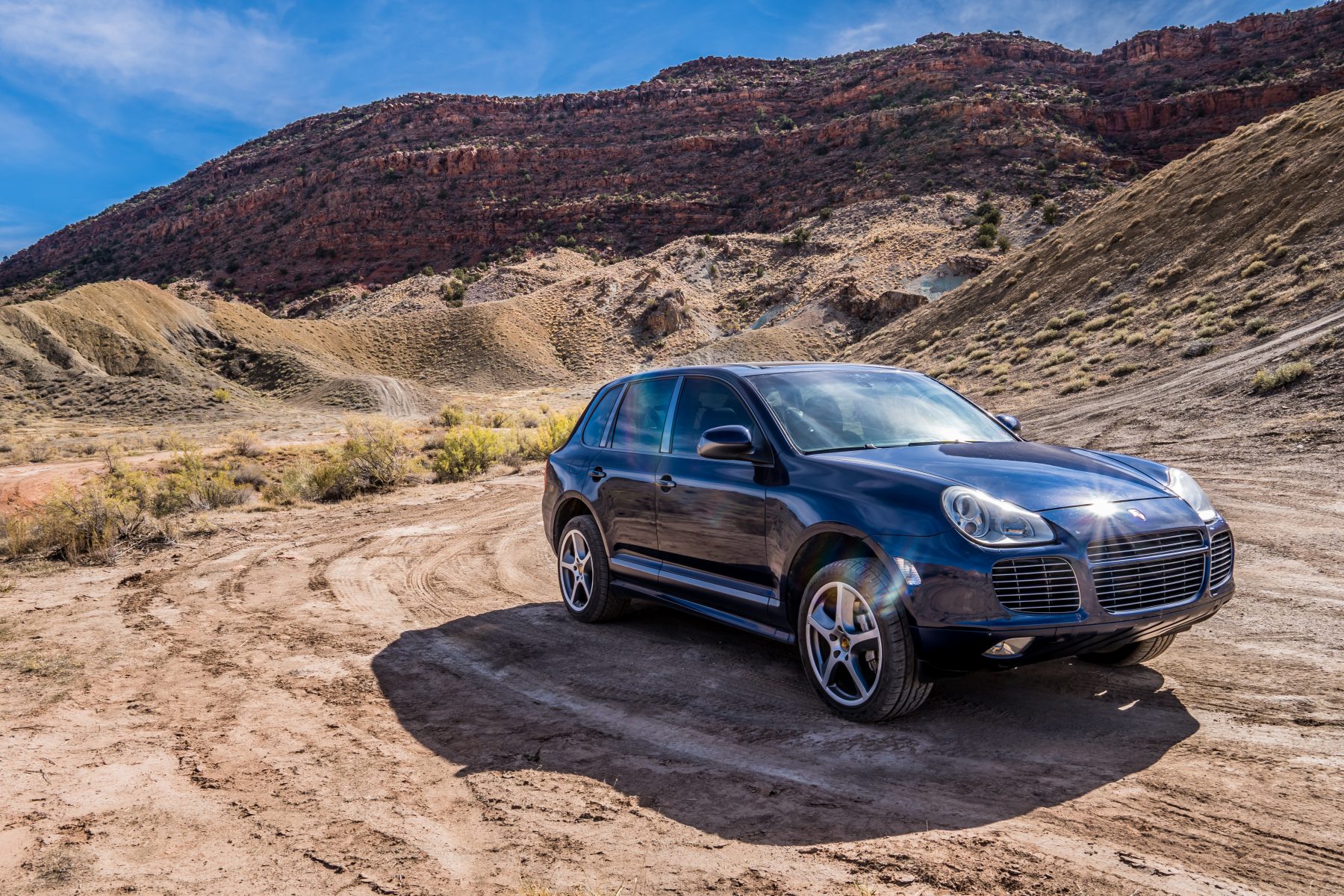
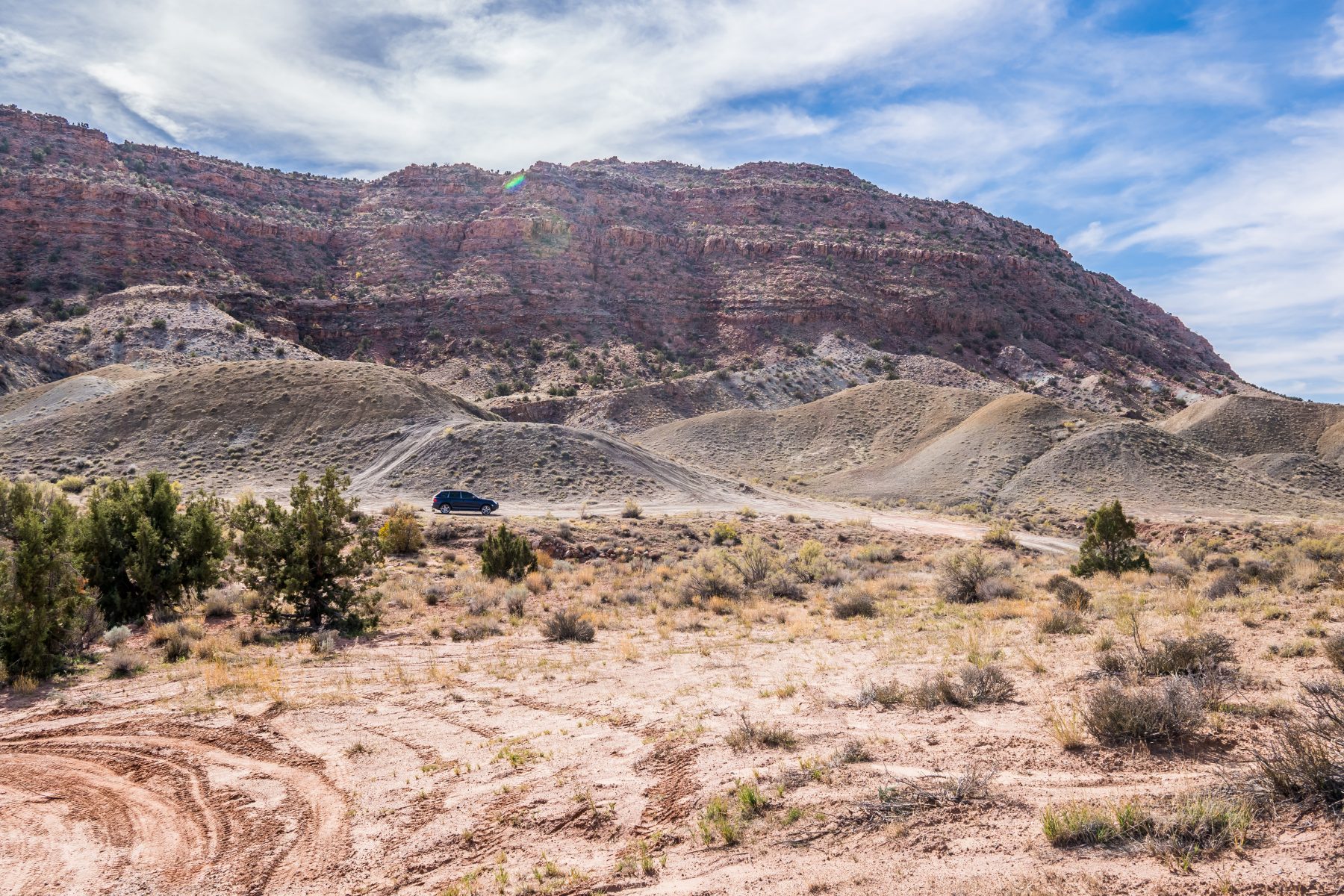
I scouted a place to camp for the night, but realized that Heather wouldn’t be able to make it down the road in her van, so I gave up and decided to scout another road that I saw on the map, Salt Valley Road.
Salt Valley Road is maintained by the Park Service, and heads WAY out onto BLM land at the far North West side of Arches National Park. After a 10 mile drive on a pretty entertaining sand and gravel road, I found myself exiting the National Park and entering BLM land. There was a well-worn path to my right that looked like it eventually turned behind a hill, which would be really private and quiet if there was a campsite at the end of it.
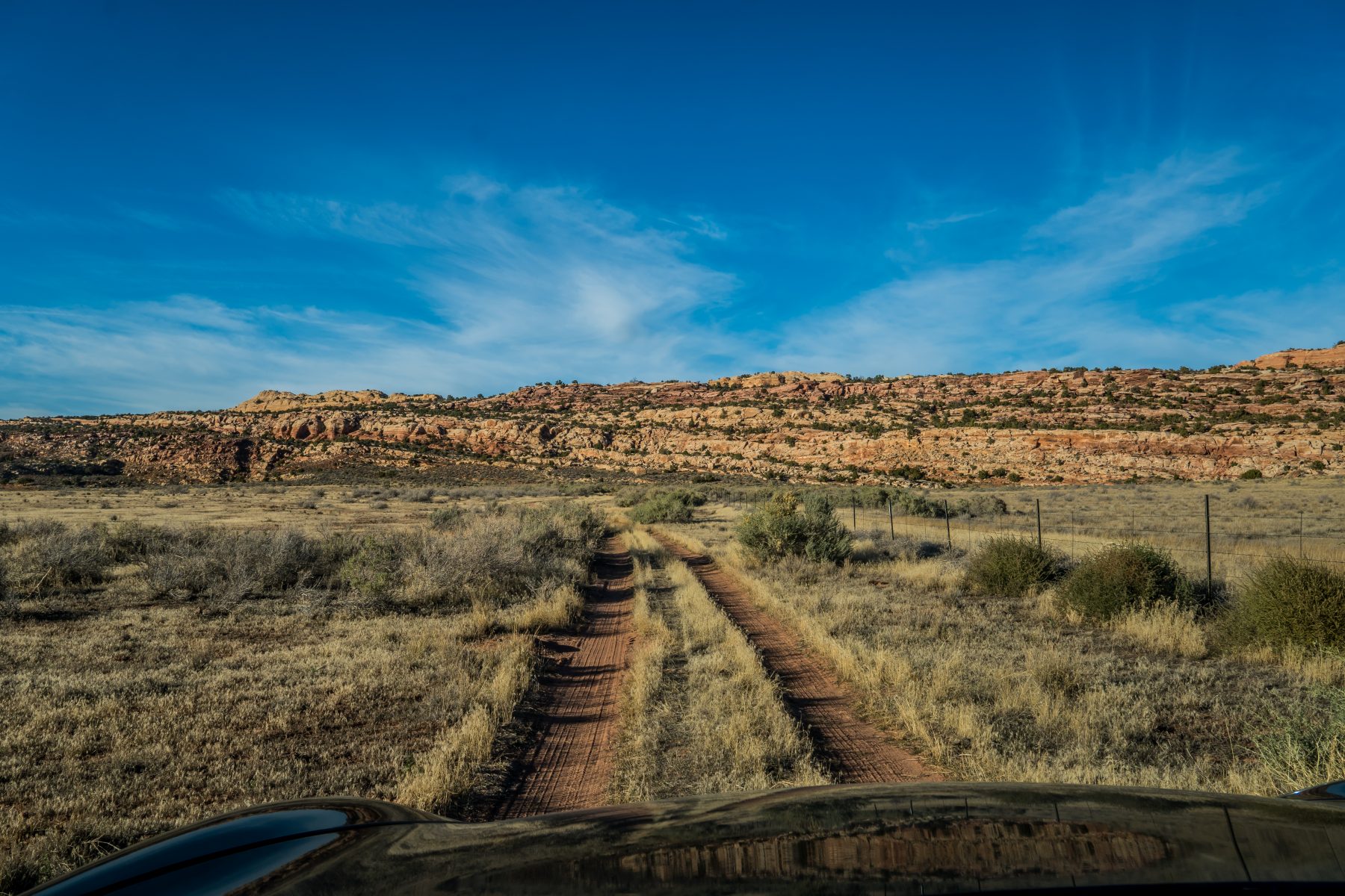
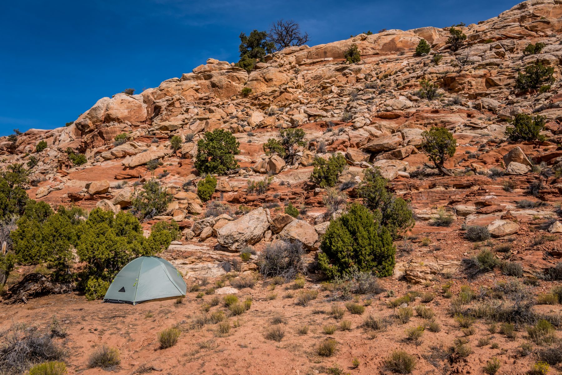
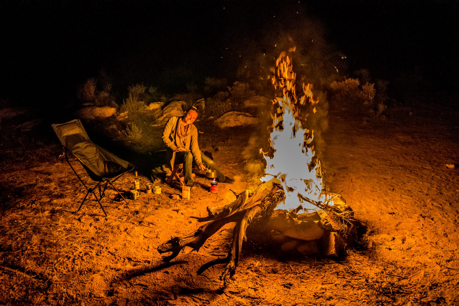
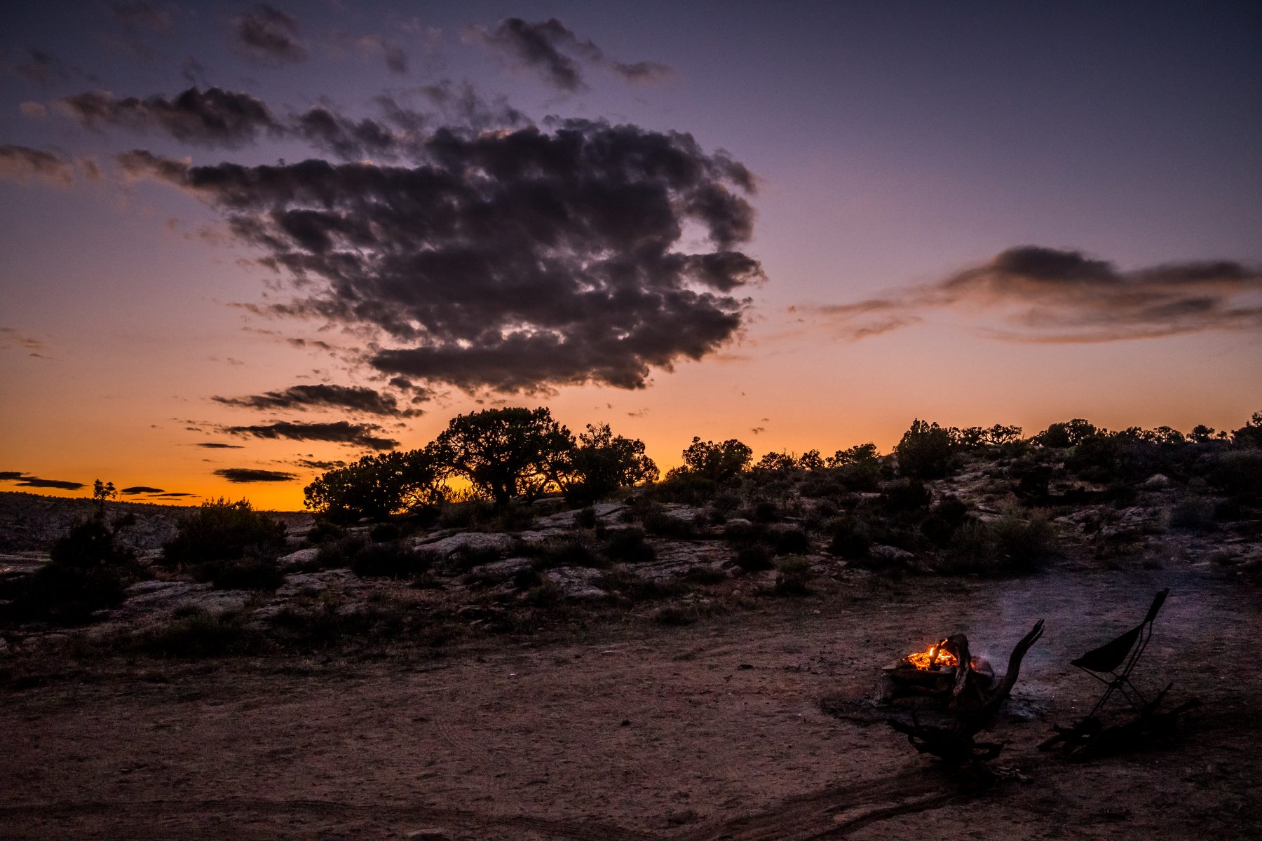
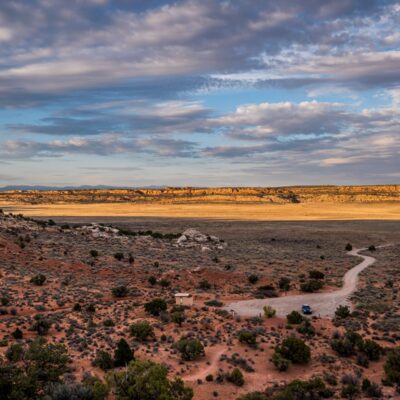
I drove all the way down the road, along the fence line of the National Park, and it terminated in a PERFECT campsite, hidden from view in all directions, with a view of the National Park only 15 feet away. I ended up spending 4 nights here in my tent, Heather stayed 2 nights in her van. It was a great campsite with a fire ring, but the distance to get to it (one hour) was a bit excessive. On my 3rd night at this campsite, I decided to take the BLM road in, rather than going through Arches. The road was so rough that it literally shook the entire headlight assembly out of my SUV, and I ended up running over it. I now need to figure out how to get my car repaired while living on the road…
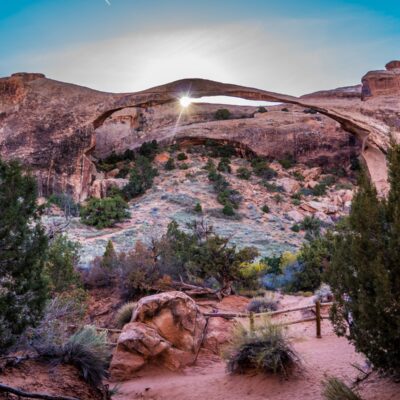
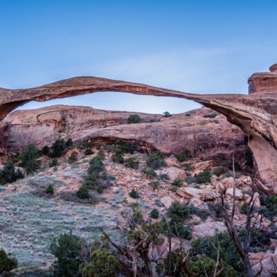
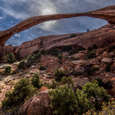
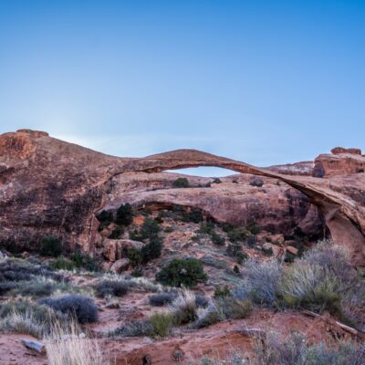
On my third day in the park, Heather and I hiked to Landscape Arch, Partition Arch, and Navajo Arch.
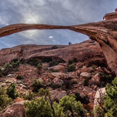
Landscape Arch is the largest arch in the entire world (beating out Zion National Park’s Kolob Arch by just 3 feet!). Over the last few hundred years, pieces of Landscape Arch the size of cars have broken off the arch. The arch now is very slim, and VERY long. It’s an unbelievable sight when you first walk up to it from the trail. I was blown away because I hadn’t read about it prior to hiking to it, and once I saw it I was literally speechless.
Landscape Arch Photo Slideshow:
If you continue on the trail from Landscape Arch, you’ll eventually reach Partition Arch. The hike is pretty fun as you get to climb up sandstone fins, and in between them.
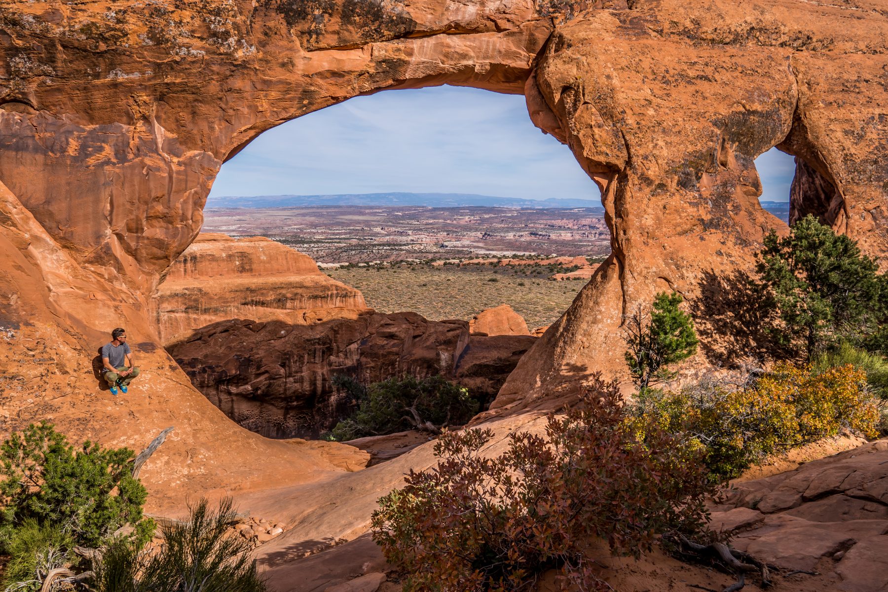
The trail to Landscape Arch and Partition Arch also reached Navajo Arch. This arch is especially serene, with extremely old pine trees inside and around it. It’s pretty magical!
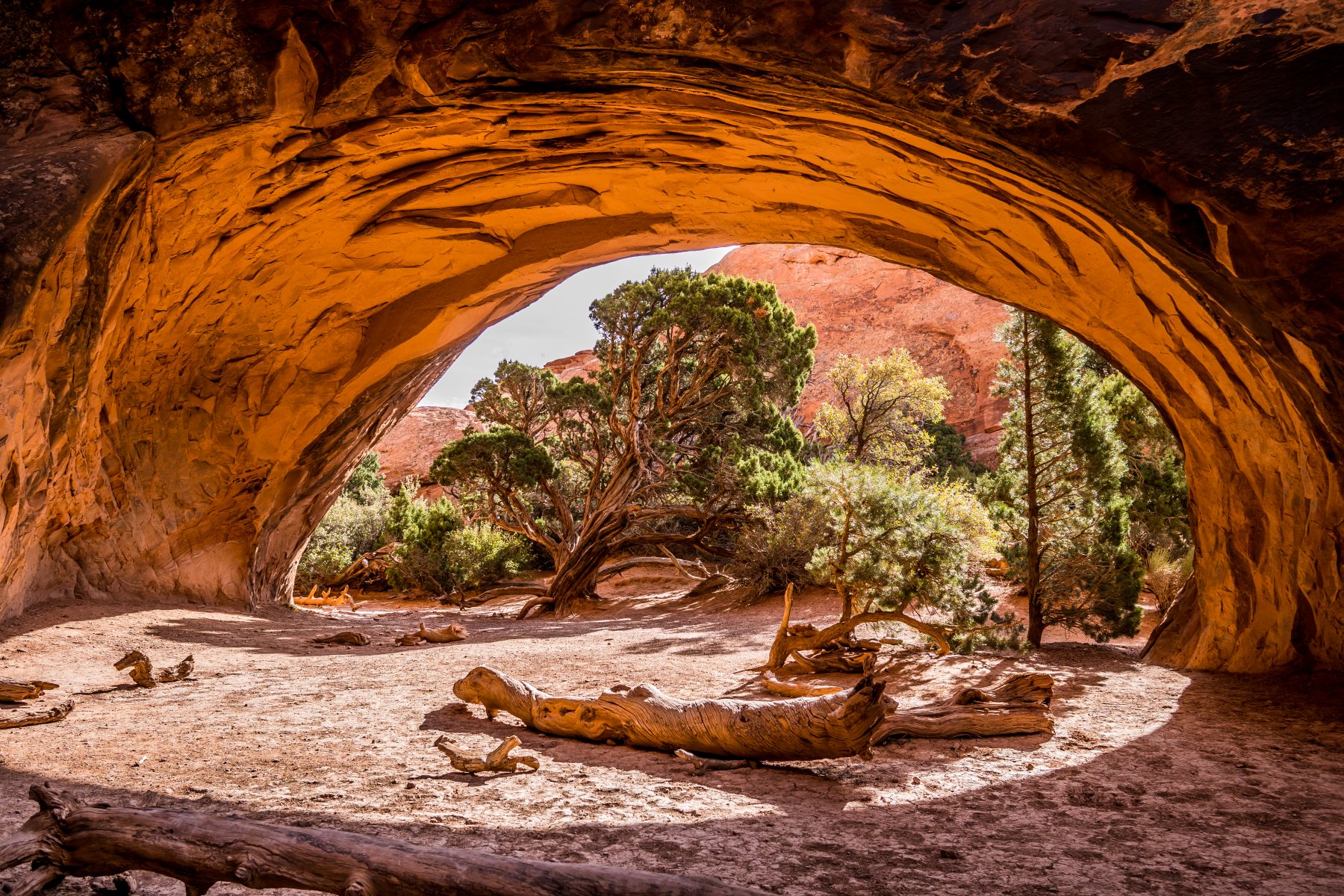
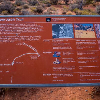
On my fourth day of exploring Arches National Park, I decided to hike the rarely visited Tower Arch Trail. After my bad experience with the throngs of tourists at Delicate Arch, I wanted to stay far away from the most trafficked parts of the park.
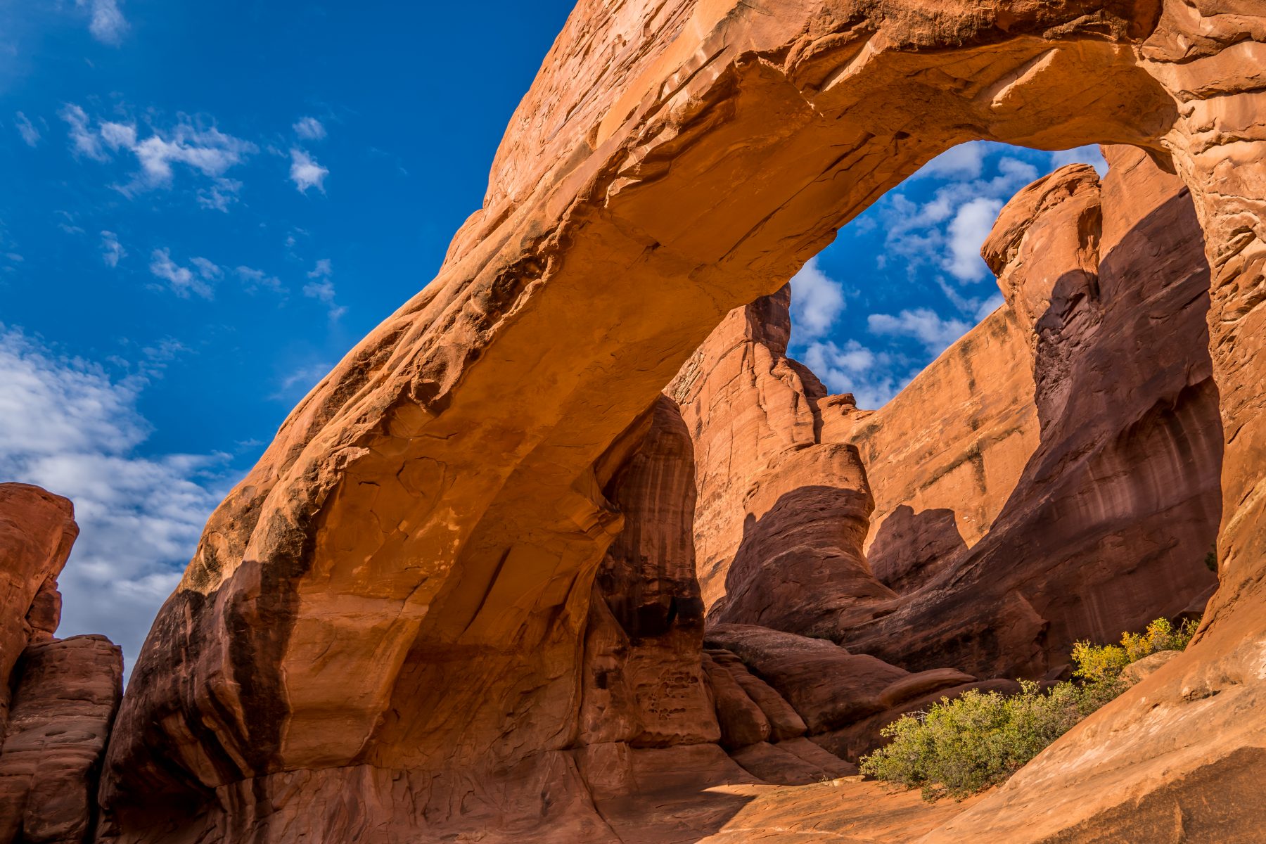
Tower Arch is a massive, secluded arch in the northwest end of Arches National Park, hidden behind the Klondike Bluffs. My campsite was within walking distance of the trailhead, but for most visitors to the park, this would require a 10 mile drive down Salt Valley Road to access it; so the vast majority of the park visitors never even come close. The arch itself is less than half a mile from the park border.
Below is a slide show of the hike to Tower Arch, which was easily the best hike in Arches National Park for me. The scenery, the peace & quiet, and the 5 mile length, were all perfect.
Tower Arch Hike Slide Show:
The trail is 5 miles round-trip, and gains just over 100 feet in elevation, but the constant up-and-down means that hikers will actually climb quite a bit more than the elevation gain suggests. Once you arrive at the arch, prepare to be astonished by its size, and the view!
Below are my photos of Tower Arch:
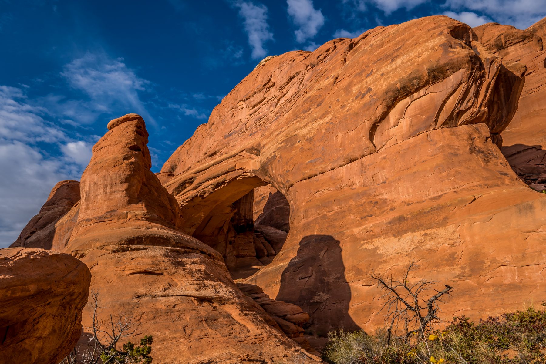
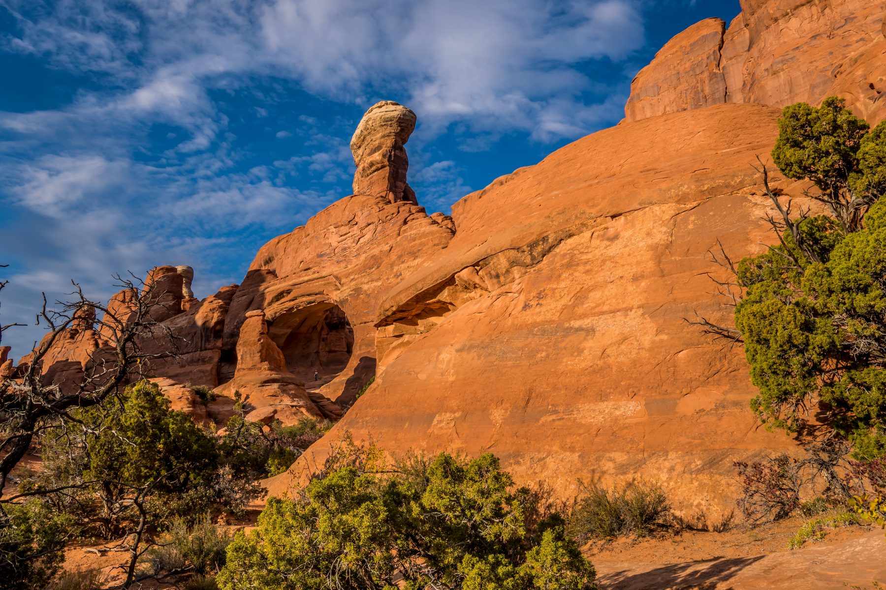
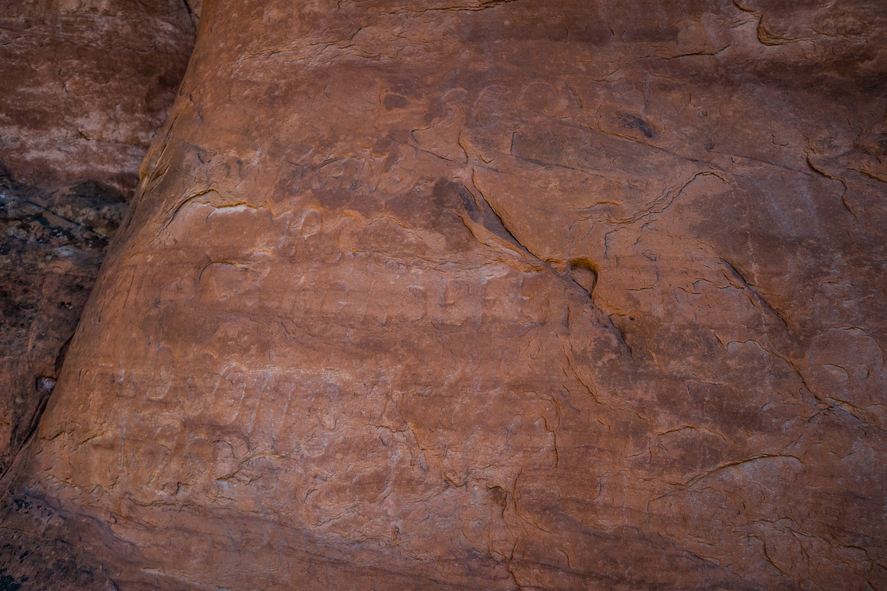
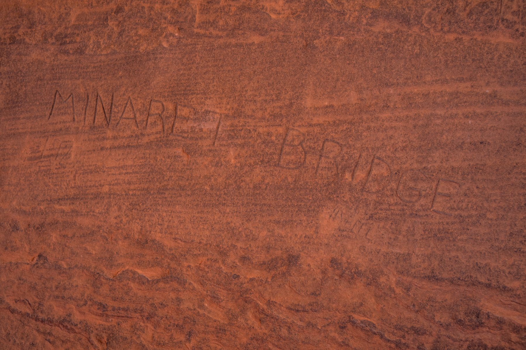

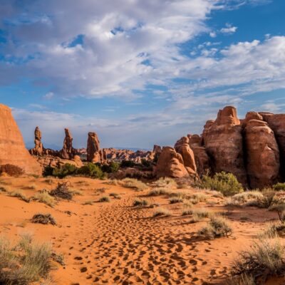
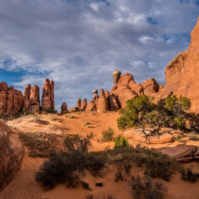
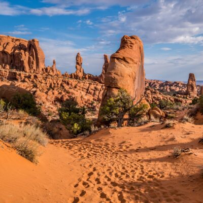
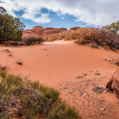
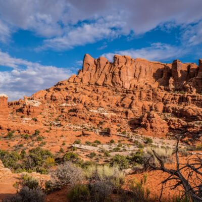
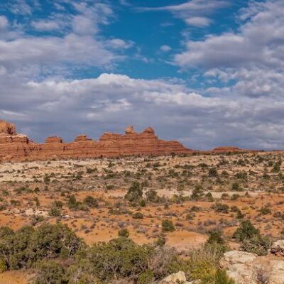
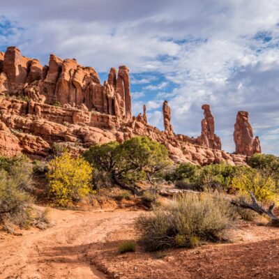
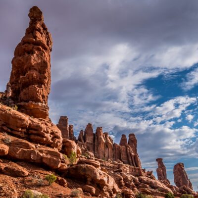
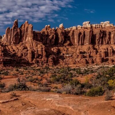
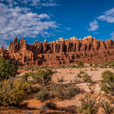
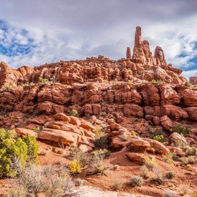
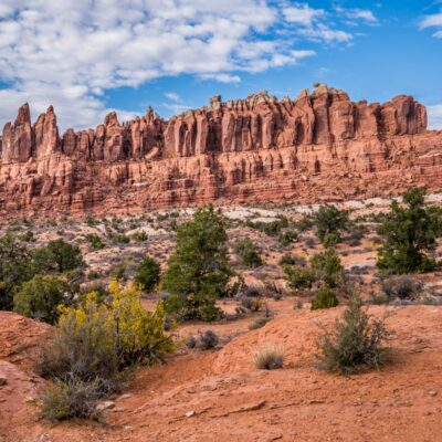
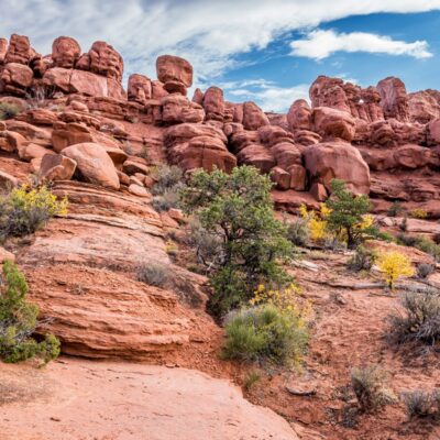
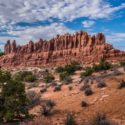
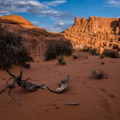
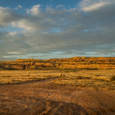
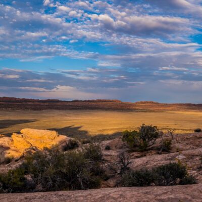
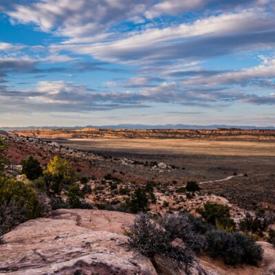
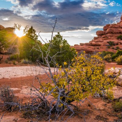
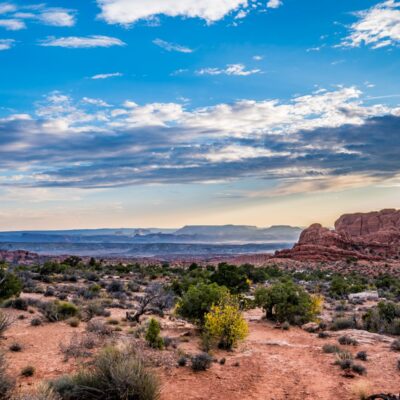
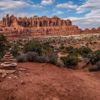
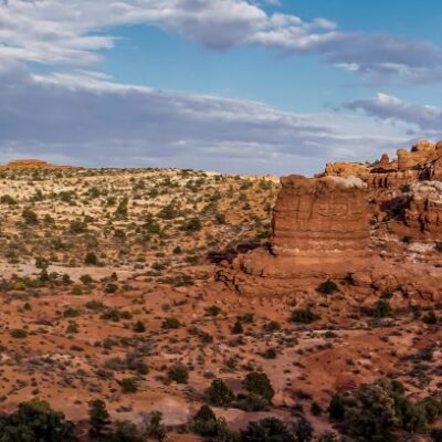
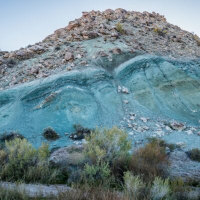
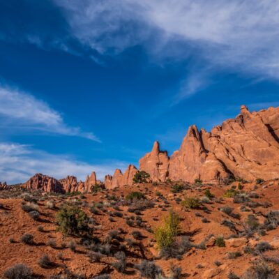
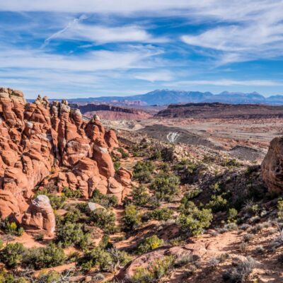
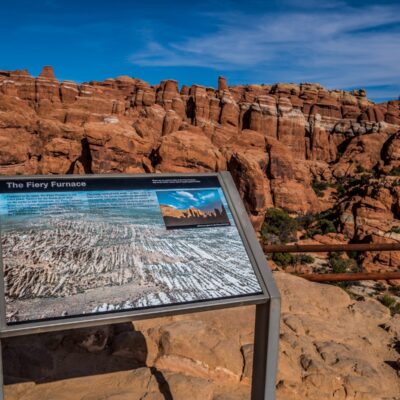
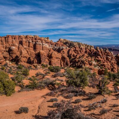
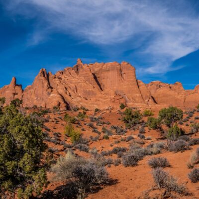
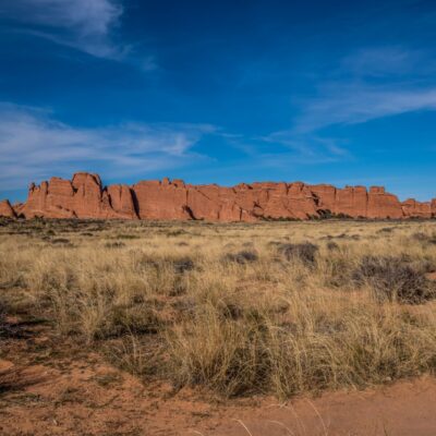
Arches National Park isn’t all about the arches either, here are a few of my photos of the other beautiful scenes in the park:
I spent October 20th in Moab catching up on work, and then spent the night in my car on BLM land at a different location; Willow Springs Road. It was far too windy to stay in the tent that night, and every single hotel in Moab was sold out, so I had no choice but to sleep in the back of the car. I do not enjoy that. I am now shopping for a camper van, because this trip is costing me a fortune in hotels, and I am so over sleeping in the car!
On Saturday the 21st I came back into Moab to do laundry and to catch up on more work. Moab is remarkably convenient for visiting Arches National park, and Canyonlands National Park. It’s nice to know that you can easily pop back into town for a piece of civilization when needed!


I’m inspired. I deal with limited mobility, but if I can get my truck to a spot i can make it food a long time enjoying the solitude and what I can learn. I really enjoy going where others don’t want to be.